The Big (Sur) One

May 1, 2019

Yesterday, April 30, 2019, at 10:10 am, a small, magnitude 3.4 earthquake rocked the seafloor 25 kilometers northwest of San Simeon. That’s just offshore from where the Monterey/San Luis Obispo County line meets the coast; between Salmon Creek and Ragged Point. Local media reported it took place on the San Simeon Fault.

In other words, the quake took place immediately adjacent to some of the most unstable and landslide prone slopes in Big Sur. It was fortunate that this quake was so small, because larger – much larger – earthquakes are distinctly possible along the Big Sur coast.

IMG_2665

The epicenter of yesterday’s earthquake was just off this segment of the southern Big Sur coast. The cattle grazing in Kozy Kove Meadow make a peaceful, bucolic scene, but it’s worth remembering that the flat is, in fact, the top of an enormous pile of rubble; the remnants of a massive landslide that very recently (in geologic time) slid into the ocean in this location. Read the rest of this entry »


Forest Service Lifts Fire Restrictions Just in Time for a Red Flag Warning

January 27, 2018

IMG_2266

7:30 pm; June 16, 2016: Sundowner winds blow the Sherpa Fire down from the Santa Ynez Mountains and onto the coastal terraces west of Santa Barbara (as viewed from the comfort of Cojo Anchorage). Dry season conditions of this kind have been common so far this winter.

The Los Padres National Forest covers about 1.75 million acres. The northern boundary, near Carmel Valley, is over 200 miles from the Forest’s southernmost point, near Los Angeles. As fire restrictions are imposed Forest-wide, strict prohibitions on campfires tend to remain in place in the Big Sur area, even after substantial rain, so long as the southern end of the Forest remains dry.
Read the rest of this entry »


The High Sierra Diaries of Alexander Eells: Part 1 – Sonora Backcountry 1898

November 17, 2017

Scan 1

Alexander Eells with John Muir and Muir’s daughters Wanda and Helen. Photo probably taken in Paradise Valley, above Kings Canyon, in July, 1902. Wanda and Helen would have been about 20 and 16 at the time. Eells later tried to bring his wife and young daughters to the high country, but his in-laws thought the idea was outrageous and strenuously objected.
Read the rest of this entry »


Mud Creek Now Mud Point

May 23, 2017

image0021

Punta Barro: Big Sur’s newest geographical feature (photo credit: Rock Knocker)

The Santa Lucia Mountains are very young. At just 5 million years old, they are still in the process of being born – punching upward out of the Pacific faster than the forces of wind, waves, rain, and gravity can wear them down. Their steep, unstable seaward wall, rising to over 5,000 feet at Cone Peak, is constantly eroding, sliding and collapsing into the sea.
Read the rest of this entry »


Big Sur River Above Flood Stage for Fifth Time This Year

February 20, 2017

img_4806

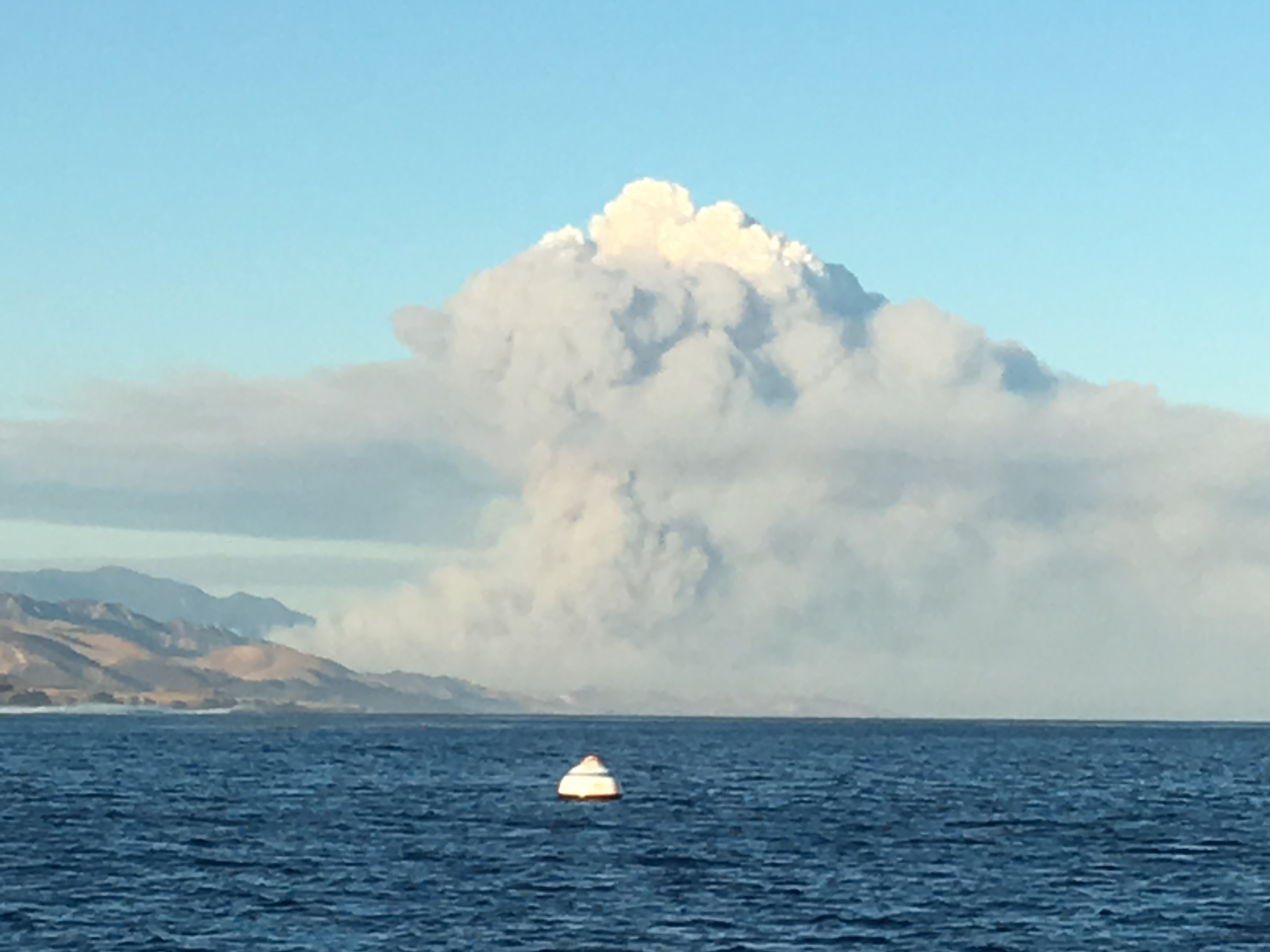
South Coast oaks in the rain

Heavy pre-dawn rain has pushed the Big Sur River above the 10-foot level that marks its official “flood stage” for the fifth time in less than two months.

As of 9:00 am, the river was at 10.30 feet, which indicates a flow of 3,530 cubic feet per second.

On January 12, the Big Sur River hit 12.34 feet (or 7,650 cfs – more than twice the current flow); the second highest peak recorded since the gauge was installed. The highest was an amazing 10,700 cfs, recorded in January 1978, following the Marble Cone Fire.

This morning’s rain can’t be helping the situation at Pfeiffer Gulch, where a slide has been slowly pulling down the Highway bridge. Interestingly, when the bridge was built in the 1960’s, Caltrans erroneously signed it as the Pfeiffer Canyon Bridge and, taking their cue from the sign on the collapsing bridge, everyone now seems to be referring to the place as Pfeiffer Canyon.

It’s not the first time this ravine has undergone a name change or, apparently, had bridge trouble. According to Clark’s Monterey County Place Names, the Pfeiffers themselves knew the place as Burnt Bridge Creek.

See the Big Sur River Gauge here.

Noon Update: As of 11:45 the Big Sur River was still rising and had reached 10.85 feet, or 4,370 cfs.

1:00 pm Update: As of 12:45, the Big Sur River had reached 11.07 feet (4,730 cfs). The Carmel River is also rising and is projected to crest more than a foot above its January high water mark. If this happens, there will almost certainly be some flood damage.

2:00 pm Update: The Big Sur River has been level at 11.10 feet (4,790 cfs) for the past half hour. Rain is expected to become more intense this evening, so another rise will be possible tonight.

5:30 pm Update: As of 5:15 pm, the Big Sur River had receded to 10.3 feet (3,530 cfs); which is still above flood stage. Rain is beginning to pick up again over the Big Sur watershed and, if that continues, the river may begin rising again soon.

7:00 pm Update: Hard rain is falling and the Big Sur River is on the rise again. 10.40 feet (3,680 cfs) as of 6:30 pm.

9:00 pm Update: The Big Sur River is rising quickly and has surpassed this afternoon’s peak. As of 8:45 it was at 11.78 feet (5,960 cfs).

10:00 pm Update: Has the Big Sur River found its peak? It made it to around 12.22 feet, just shy of last month’s high water mark of 12.34 feet (the 2nd highest peak ever recorded), but has now (as of 9:45 pm) dropped back to 11.97 feet (6,310 cfs).

11:30 pm Update: The Big Sur River is rising again and, as of 11:15 pm, was back to 12.13 feet (6,570 cfs).

Midnight Update: That rise was short-lived. The Big Sur River is back under 12 feet and falling. Unless unexpectedly heavy rains arrive, it should continue to fall throughout the night.

12:30 pm 2-21-17 Update: The Big Sur River finally went back below flood stage around 11:00 this morning. Its twin peaks last night may have been a bit lower than the January high water mark, but the fact that it remained above flood stage for more than 24 hours is probably some kind of record.

As of 11:45 am, it was at 9.9 feet (2,940 cfs).


Soberanes Fire: Week Seven

September 2, 2016

Important caveats: Please note that the squares on the heat detection maps represent the expected margin of error, not the size of the area burned. In other words, the detection could have come from anywhere within the square. Also be aware that false detections do sometimes occur. An outlying or “over the line” heat detection is not, by itself, a confirmation that there is fire in the area indicated. In addition, the satellites do not detect heat everywhere that fire exists. Creeping, backing or smoldering fire is often not detected. Finally, the detections are only snapshots of moments in time. Flare ups that occur before or after a satellite pass may be entirely missed.

Also be aware that yellow squares disappear from the map after 6 days. These are not maps of the area burned since the fire began, just maps of where heat has been detected during the past week. Read the rest of this entry »


Flashback! Julia Pfeiffer Burns in the 1960s

July 19, 2016

Just a few shots from the days before traffic jams and crowds…

Scan

At the Waterfall House with my mother and sister in 1966. Notice how the waterfall drops directly into the ocean. The beach formed after a 1983 landslide put a huge amount of material into the ocean just to the north.

JG 1

Mom and Sis on the terrace.

Brown House

Leading Mom around the house (I think this photo is from 1963). To get there, we rode down from the Highway on the funicular car.


Up Against the Wall: Steelhead and the Carmel Lagoon Ecosystem Protective Barrier

February 9, 2015

Reeds

The Carmel River Lagoon in 1947 (Laidlaw Williams photo)

There’s been some uproar lately over the plan to build a flood barrier in the Carmel River Lagoon and people have been asking on social media and elsewhere why anyone would propose to place such an assumed-to-be-ugly wall along the northern margin of such a beautiful wetland. A better question may be whether we can find a way to live our lives that doesn’t prevent steelhead from living at all. Either way, it’s a long story… Read the rest of this entry »


Saint Serra

January 25, 2015

la_ca_0808_junipero_serra

Junipero Serra

Those of us who are neither Catholics nor saints probably shouldn’t care whom the Pope decides to honor as a saint. After all, previous Popes made saints of some pretty nasty people. They even made saints of some who were entirely fictional. Yet those were just embarrassing mistakes (like torturing tens of thousands of men, women and children to death as witches) made during the bad old Dark Ages, weren’t they? The Church today would never declare someone a saint who hadn’t lived a life that set an extremely high moral and spiritual example, not just for their own time, but for all time. Would they? Read the rest of this entry »


Rain Making

February 6, 2014

DSC09769

Lake Nacimiento

The Reservoir Operations Committee of the Monterey County Water Resources Agency Board meets today to discuss options for dealing with the shrinking San Antonio and Nacimiento reservoirs.

Read the rest of this entry »