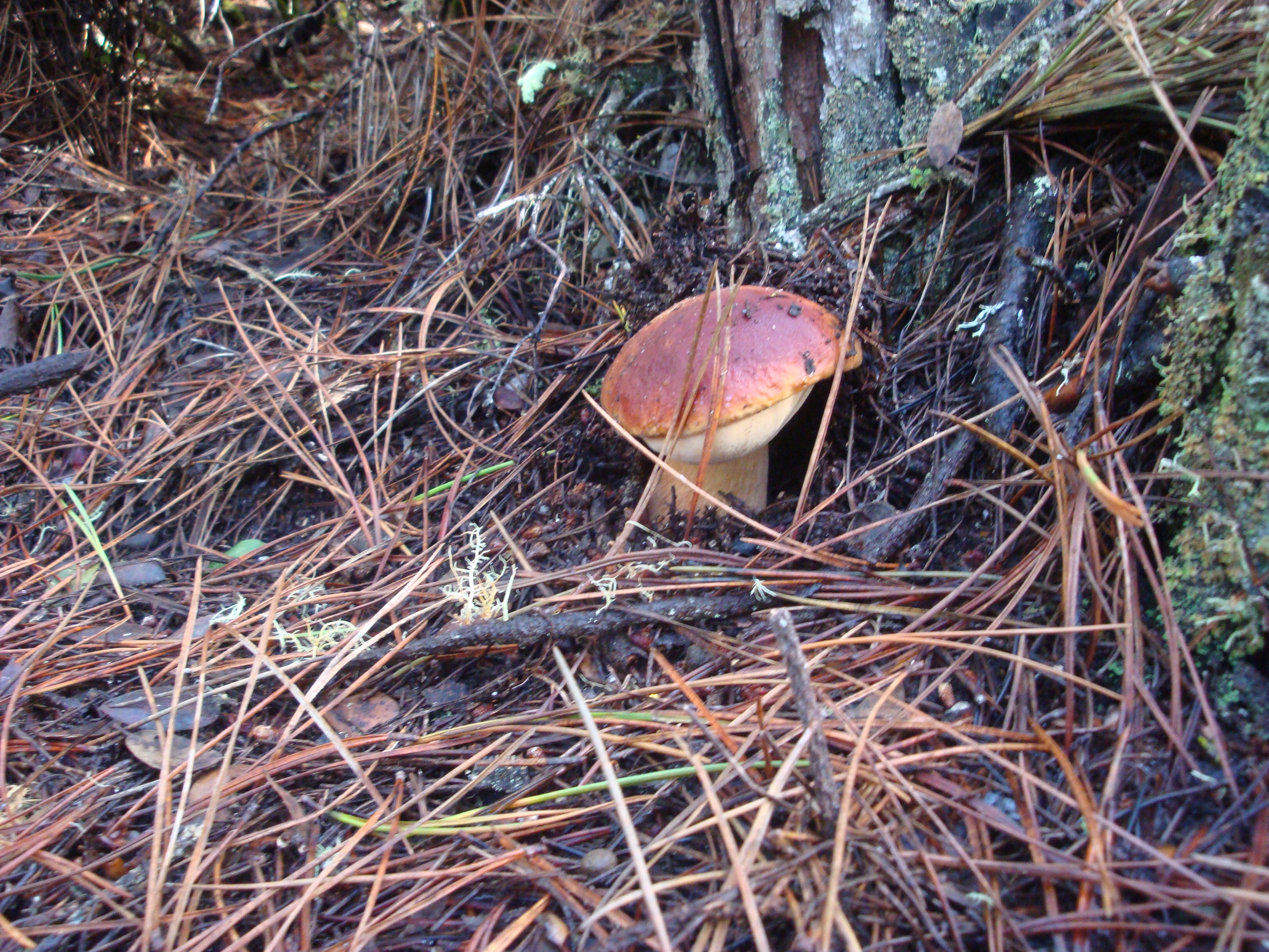
Porcini (Boletus edulis) emerging from the rain-sodden forest floor. Read the rest of this entry »
Porcini (Boletus edulis) emerging from the rain-sodden forest floor. Read the rest of this entry »
 3 Comments |
  Fungus, Living Wage, On Foot | Tagged: amanita calyptroderma, amanita muscaria, boletus edulis, Coccora, honey mushrooms, king bolete |
  Permalink
 Posted by xasauan

Clearing storm: Summit of Cone Peak; just south of Mining Ridge
Storms generally weaken as they move south, dropping more rain north of the Golden Gate and in the Santa Cruz Mountains than in Monterey County. But Big Sur’s Coast Ridge is an exception. Rising directly from the ocean to over 5,000 feet at Cone Peak, the Coast Ridge forms a high wall, lifting clouds and wringing an incredible amount of moisture out of passing storms. Read the rest of this entry »
4 Comments | Big Sur, Fire, Flood & Apocalypse, Santa Lucias | Tagged: Big Creek, Coast Ridge, Cone Peak, Mining Ridge | Permalink
Posted by xasauan
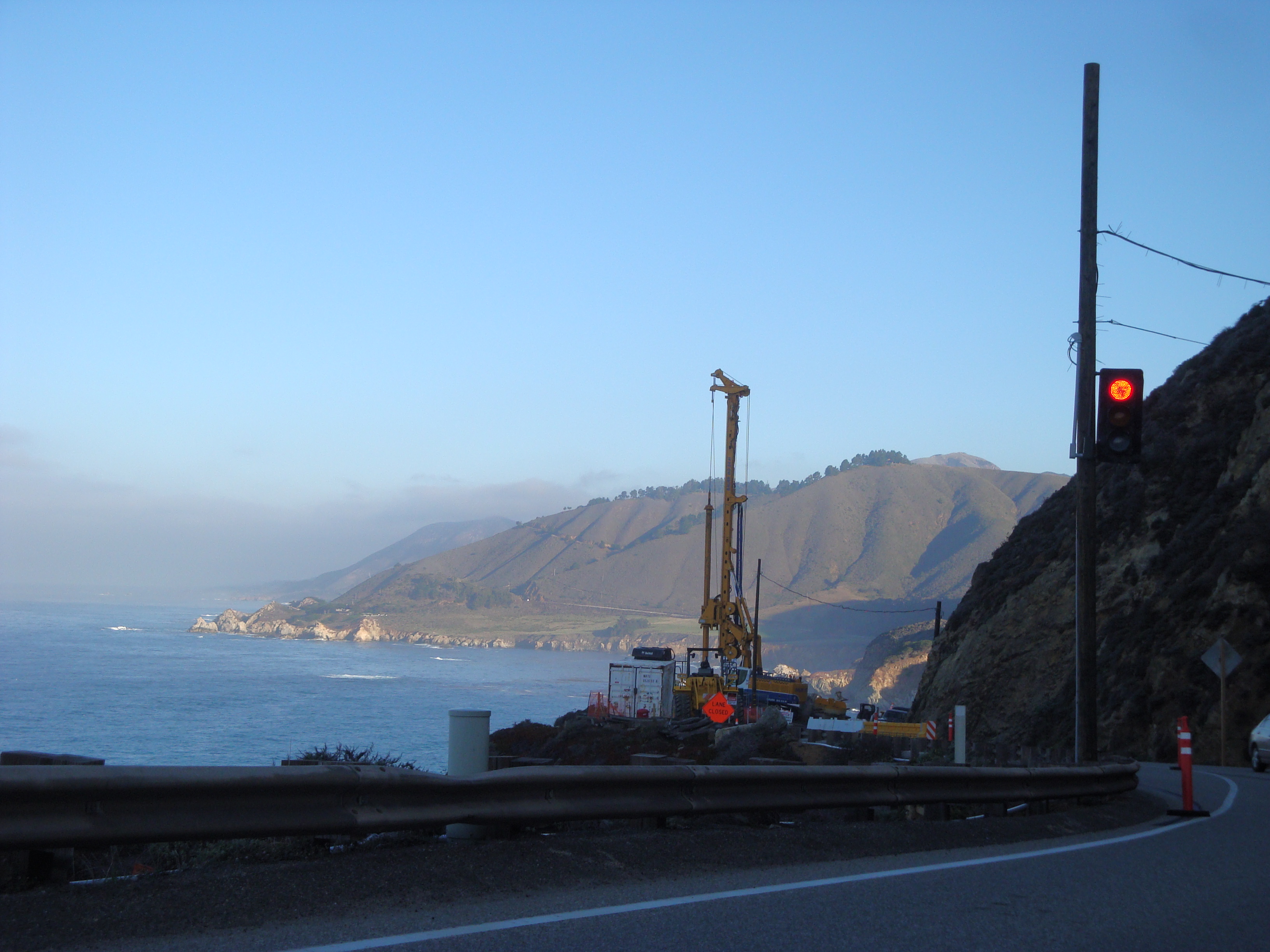
The March, 2011 Rocky Creek slide still under repair
At 9:30 tonight Caltrans shut Highway One down from “4 miles south of Big Sur” (apparently between Deetjen’s and the Coast Gallery) all the way to Ragged Point in San Luis Obispo County “due to flooding.” That’s about 50 miles of highway closed and there is “no estimated time to reopen.” We don’t know where the “flood” is, or if this is just shorthand for lots of rocks and slides, but this is probably a good night to stay off the roads in the areas hardest hit by today’s storm.
10:45pm Update: Big Sur Kate is reporting that the cause of the closure is a slide at Rain Rocks (between Lucia and Limekiln Creek).
8:00am December 3 Update: The Highway appears to have been reopened.
1 Comment | Big Sur, Fire, Flood & Apocalypse, Santa Lucias | Permalink
Posted by xasauan
As of 2:00pm the Big Sur River was at 10.51 feet and climbing. 10 feet is the official flood stage, although past experience indicates that serious flooding does not actually begin until the river gets higher. Flow is currently at 4,900 cfs and climbing. This is a couple hundred cfs more than the river’s peak during Big Sur’s last flood scare, in March 2011. View the Big Sur River gauge here.
2:30pm Update: It appears that peak flow has now passed. Latest readings are 10.47 feet and 4,850 cfs. The rain is tapering off rapidly over the Santa Lucias, so the river will probably start dropping quickly.
10:00pm Update: Nothing to do with the Big Sur River, obviously, but at 9:30 tonight Cal Trans shut Highway One down from 4 miles south of Big Sur all the way to Ragged Point in San Luis Obispo County “due to flooding.” Don’t know where the “flood” is, or if this is just shorthand for lots of rocks and slides. The Big Sur River, meanwhile, is all the way back down to 1,270 cfs. The Arroyo Seco River takes the prize for the day’s highest peak flow with around 14,000 cfs (an amount it can easily accommodate).
Leave a Comment » | Big Sur, Fire, Flood & Apocalypse, Santa Lucias | Permalink
Posted by xasauan
You are currently browsing the Xasáuan Today blog archives for December, 2012.
| Chasing the Sun on A Visit to La Cueva Pinta… | |
| peter d niemi on Flashback! Spring Equinox Cele… | |
| danacarnazzo on Remembering the 1983 Big Sur… | |
| Kathy Tyacke on Flashback! Spring Equinox Cele… | |
| Jim on Wildflower of the Week: Silver… |
