Big Sur’s Cone Peak rises out of the ocean about as steeply as any mountain on the planet. It’s summit, at 5,155 feet, lies less than 3 miles, as the condor flies, from the beach. This delivers an average gradient of around 33%; steeper than the rise of Mt. Whitney from the floor of Owens Valley. Making the journey from the beach to the summit on foot takes only a little over 5 miles, thanks to the open slopes of Stone Ridge. And it’s one of the most spectacular walks in Big Sur. Which is saying something.
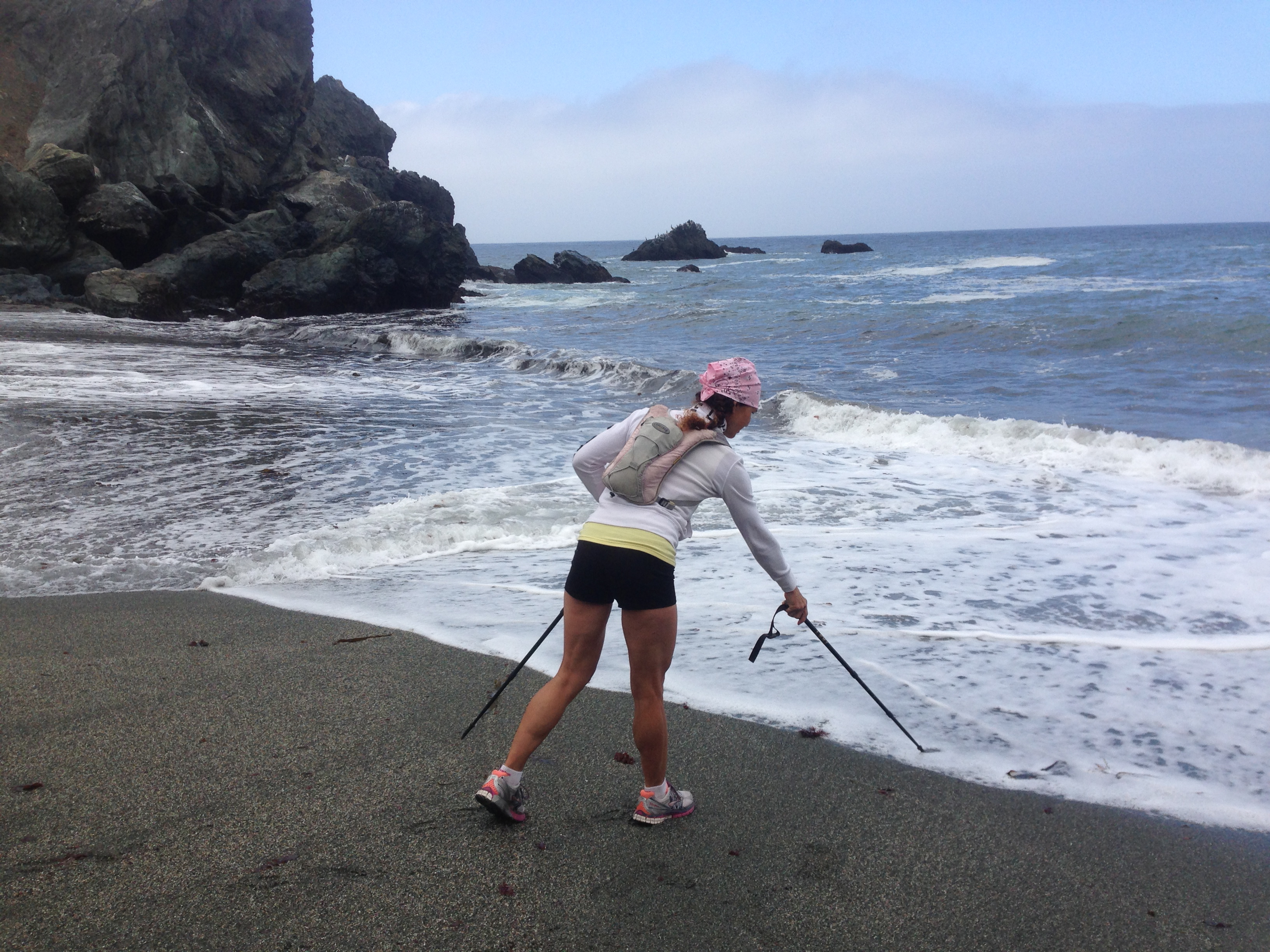
The Sea to Sky journey up Stone Ridge always begins with the obligatory touch of the ocean at Limekiln Beach. Limekiln State Park has now completed an excellent trail linking the beach to the old Twitchell Flats road and making it unnecessary to do any walking on the highway. This trail, for reasons unknown, remains officially closed, but it seems to be getting a lot of traffic anyway.
Forging a path along the Twitchell Flats road. Needless to say, it’s been awhile since anyone drove up to Twitchell Flats.

Crossing the West Fork of Limekiln Creek.
Looking down on Twitchell Flats as the first steep section, sometimes called the “Twitchell Elevator” begins. It probably goes without saying that this is not your average five mile stroll. There is no real trail up Stone Ridge and the steep sections are really steep. Depending on your level of fitness, you may find the difficulty ranges from completely impossible, if you’re an out of shape tourist, to evening fun run, if you’re Leor Pantilat.

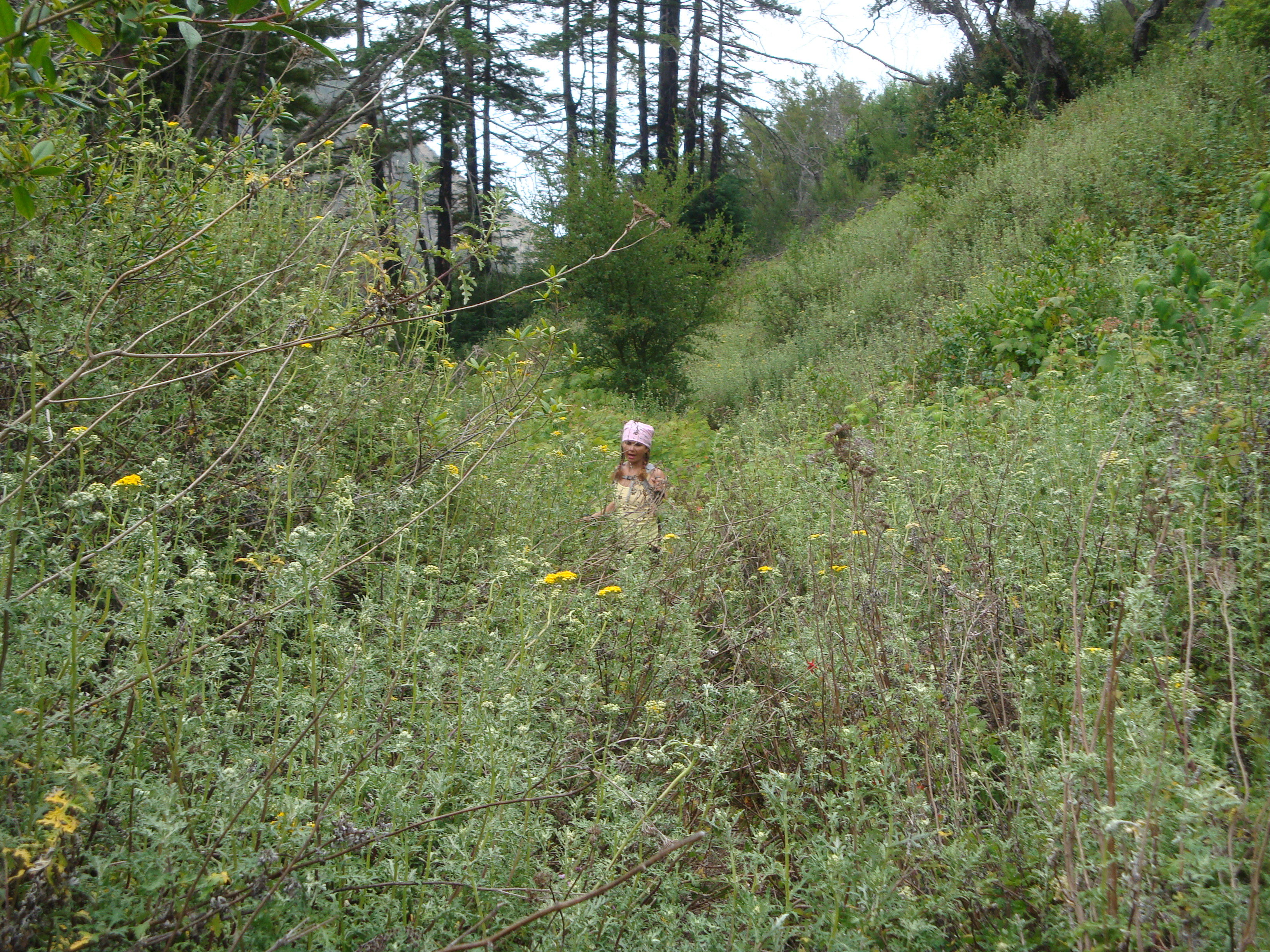
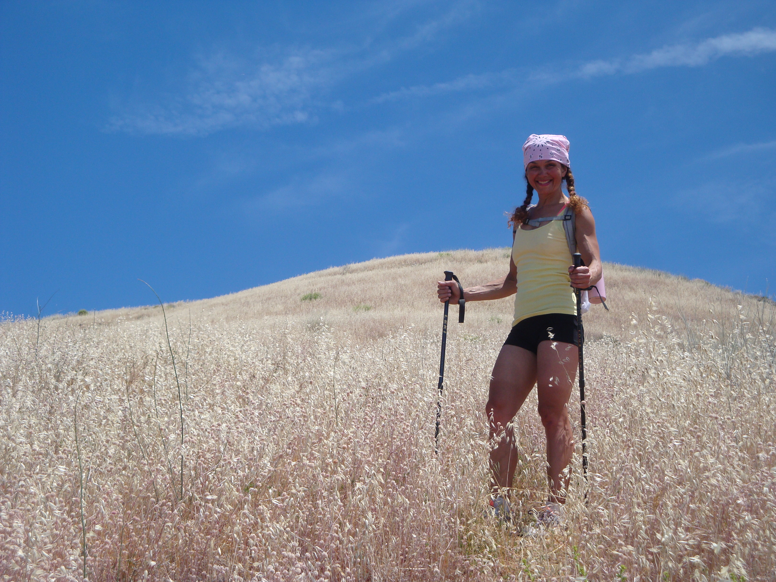
A sea of wild oats.
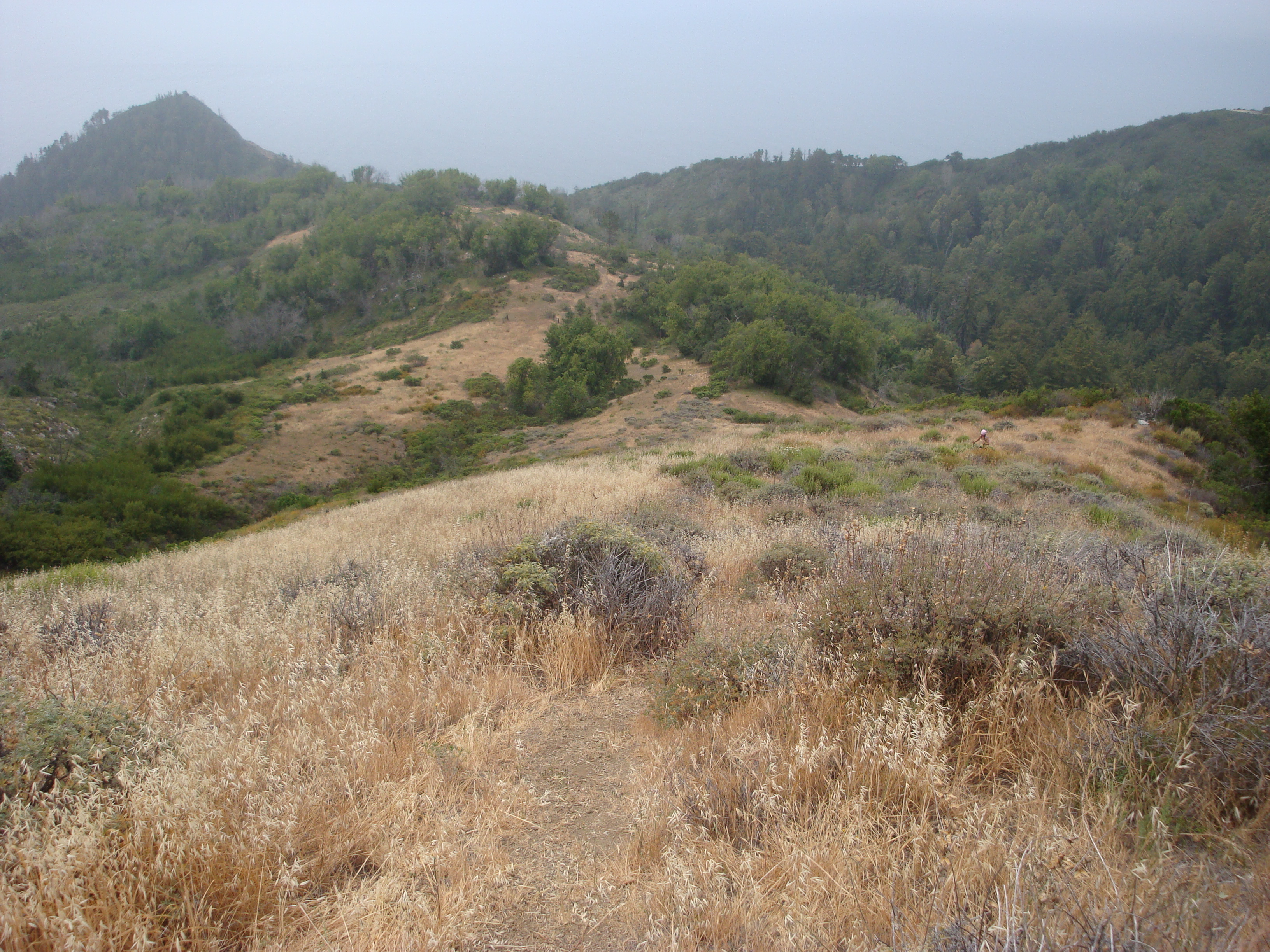
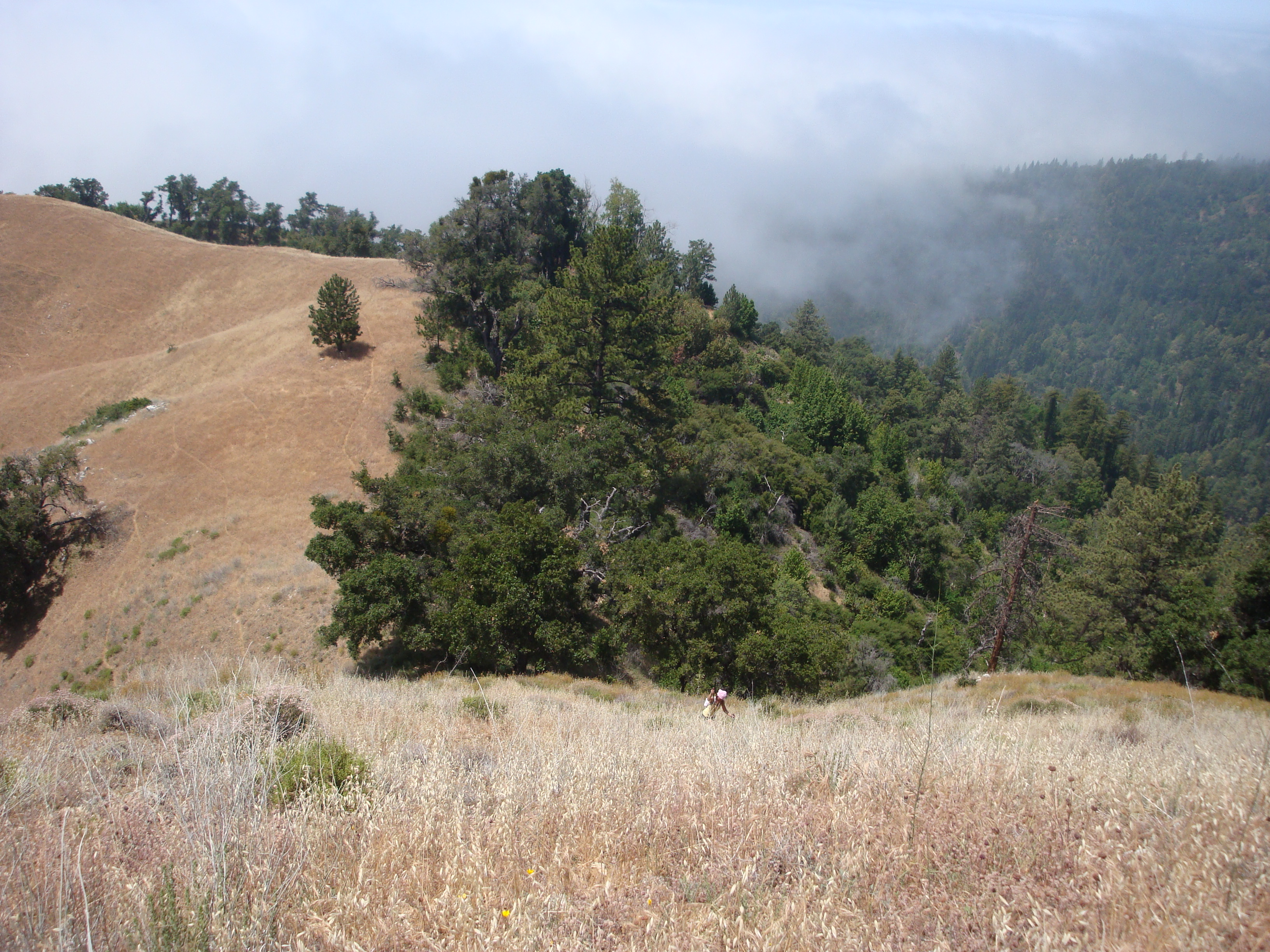
First view of Cone Peak. The route continues up the grassy ridge to the left to the summit of Twin Peak, then traverses the ridge to Cone Peak.
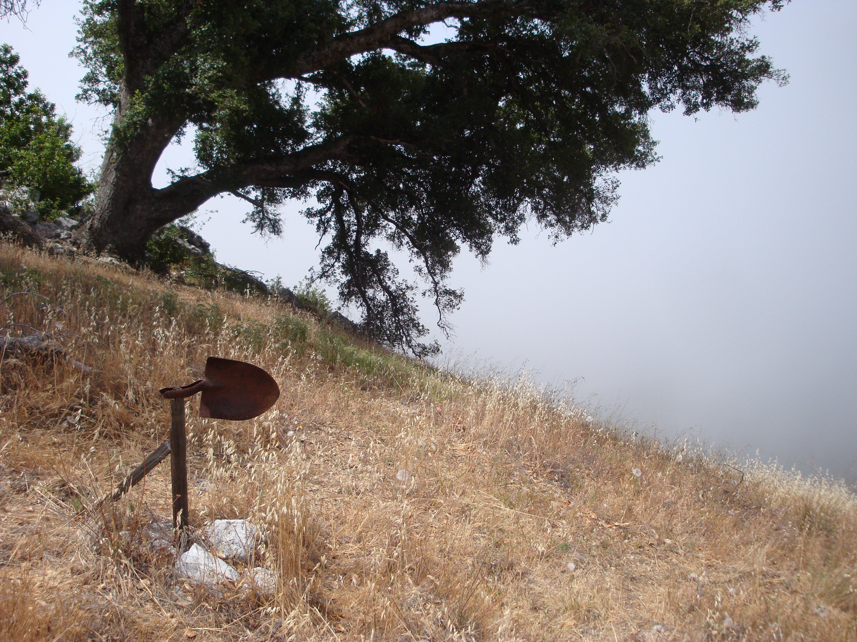
Trail marker near the top of the Twitchell Elevator.

Above the Twitchell Elevator the gradient eases for a bit.
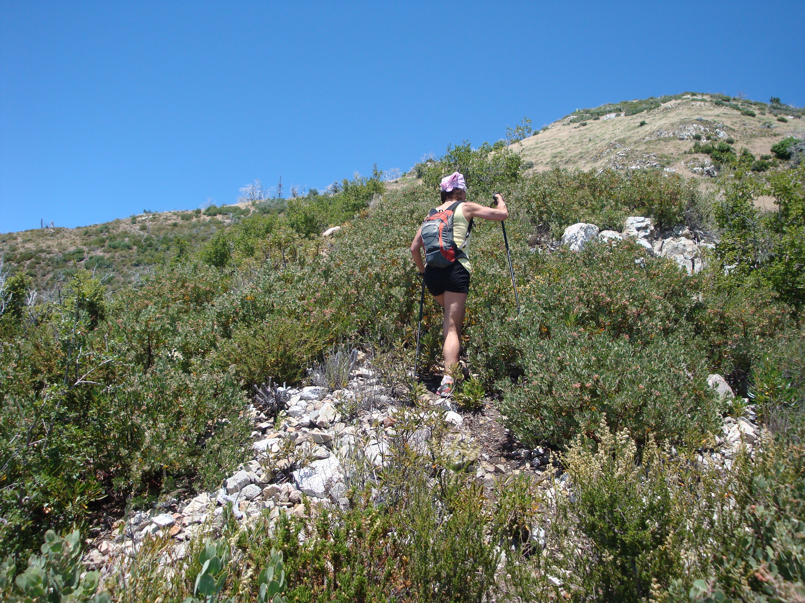
But steep climbing begins again soon.
Onward and upward.

Blooming yucca (Yucca whipplei)
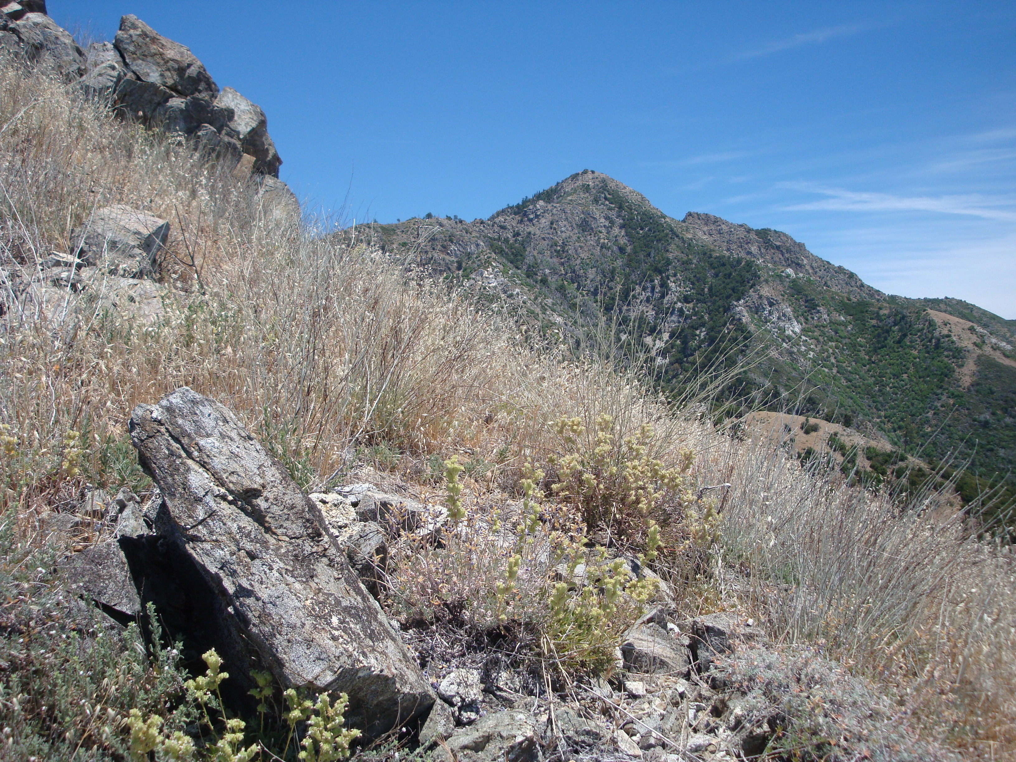
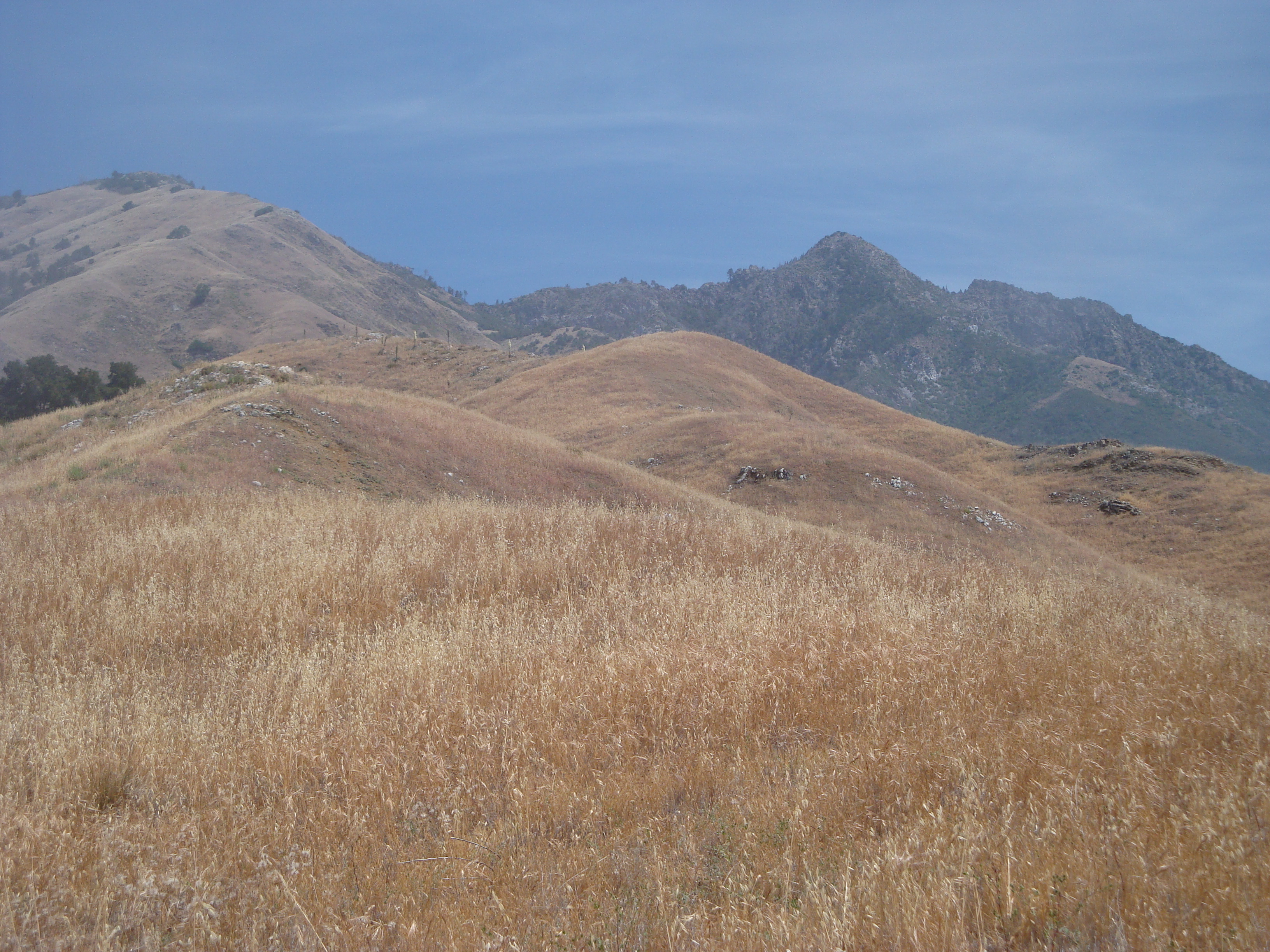
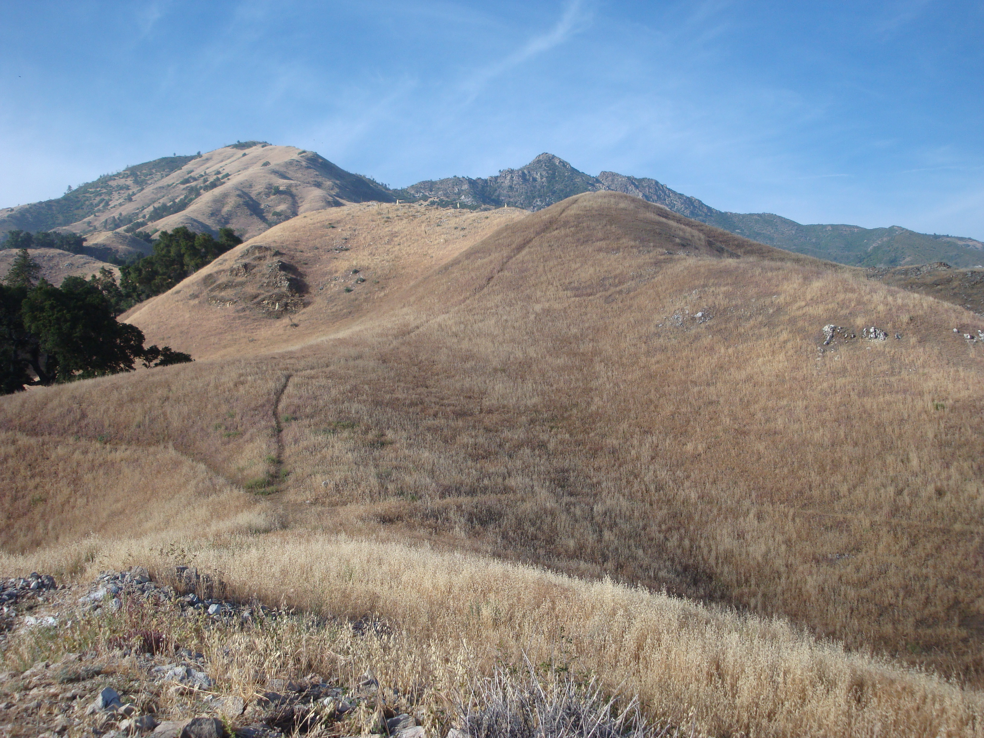
Cone Peak getting closer.
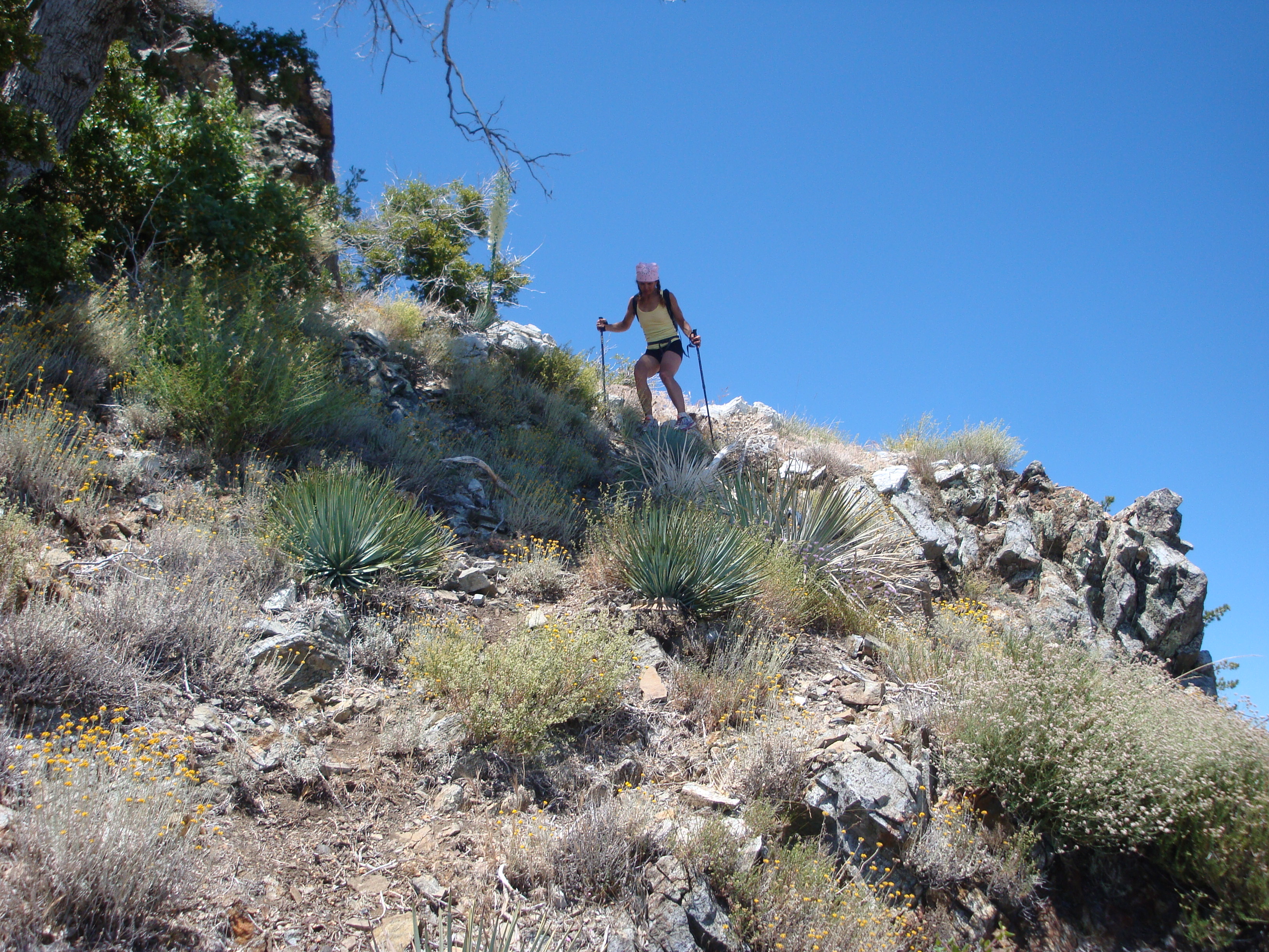
Negotiating a band of brush below the summit of Twin Peak.
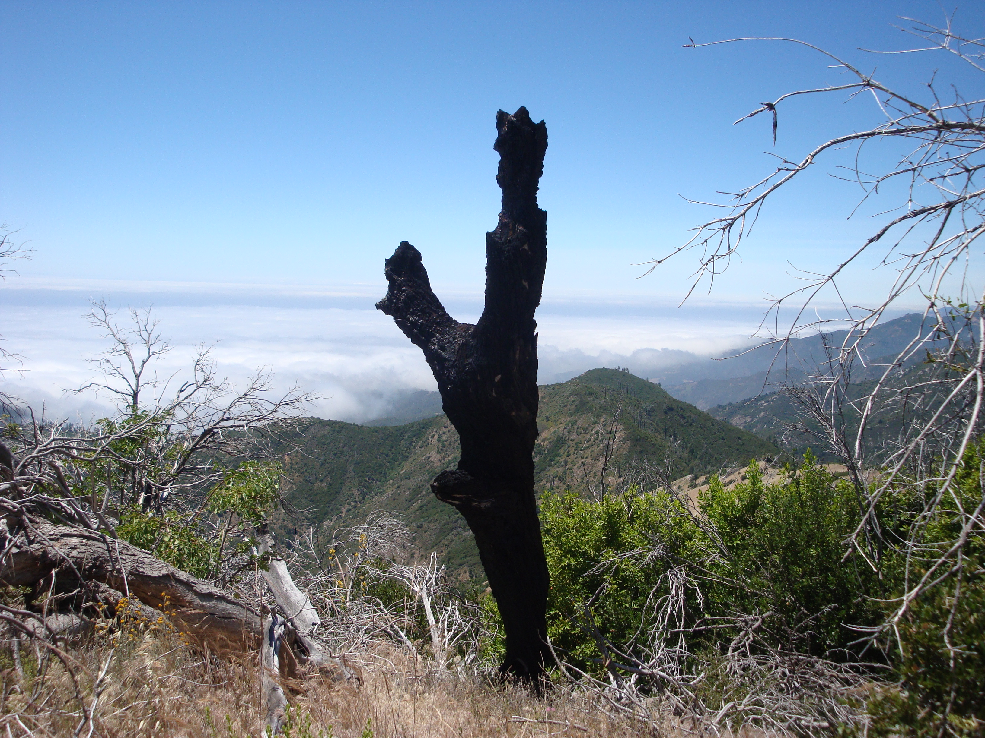
A Dark Watcher.

Twin Peak summit.
Traversing the rocky ridge to Cone Peak.
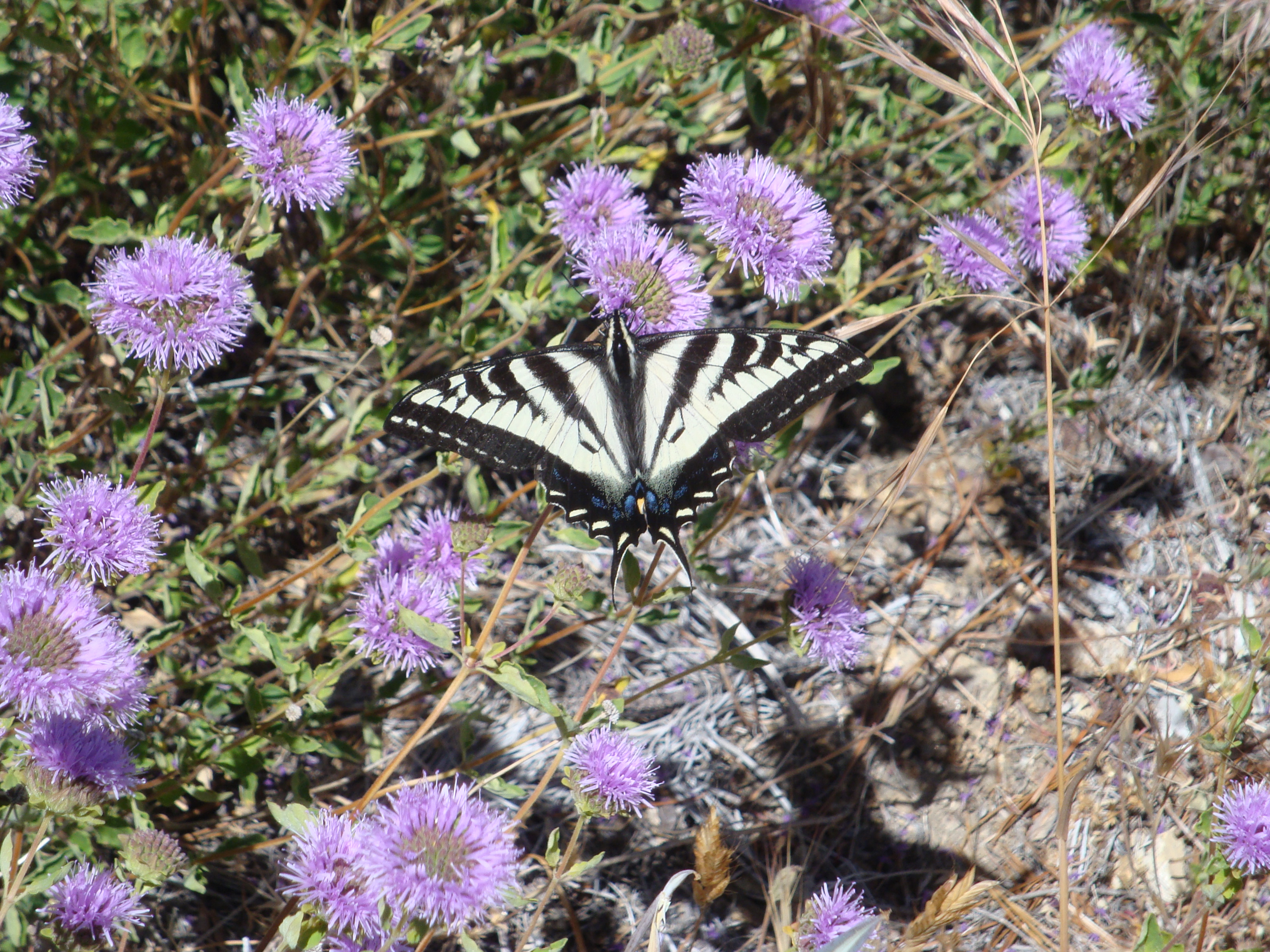
A western tiger swallowtail butterfly (Papilio eurymedon) enjoys the blooming coyote mint (Monardella villosa) along the Twin Peak/Cone Peak ridge.
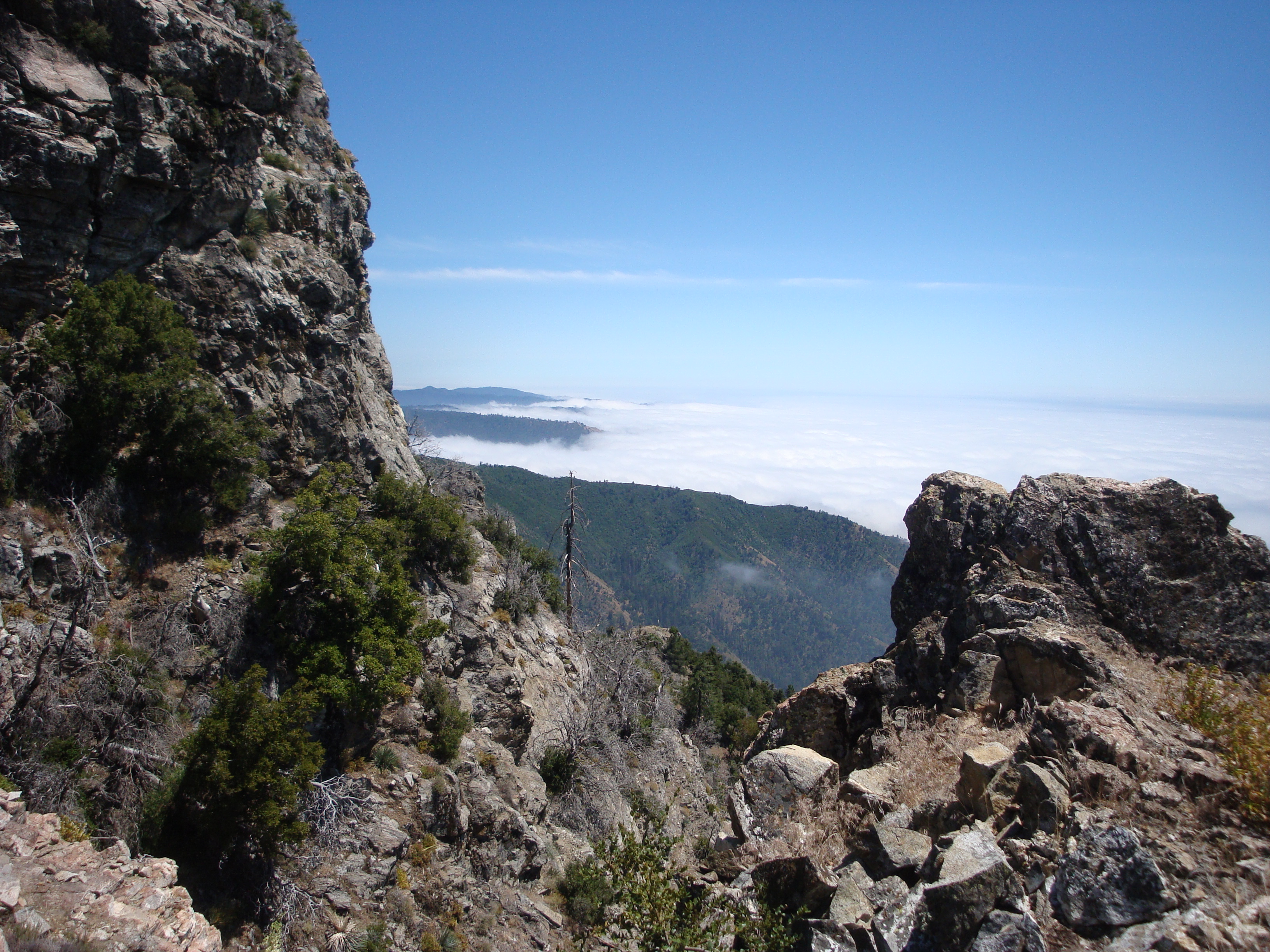
A rocky scramble with a view.
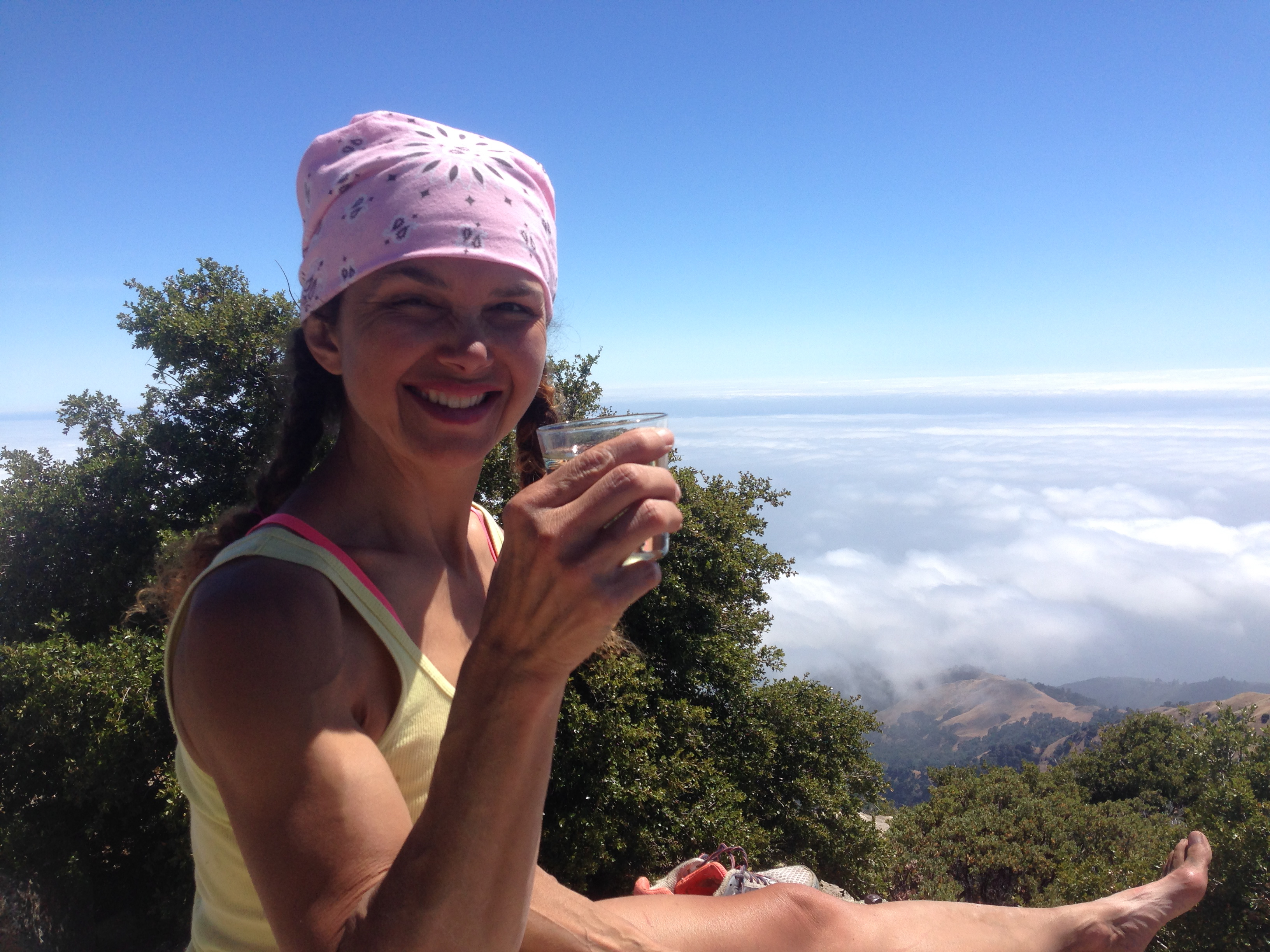
A celebratory glass of wine on the summit.

Returning to the top of the Twitchell Elevator by way of the Cone Peak, Gamboa and Stone Ridge Trails adds miles, but is easier on the knees. There’s even some very welcome water along the way.
Looking back at where we’ve been from the top of the Elevator.
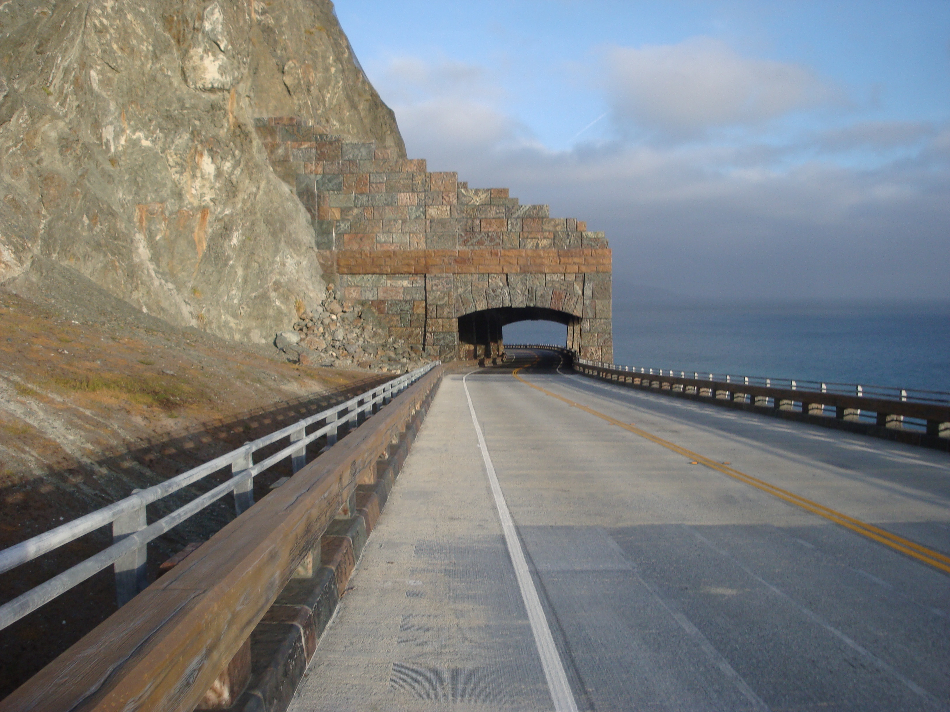
Returning via the old route, along the highway, means passing through the new rock shed.
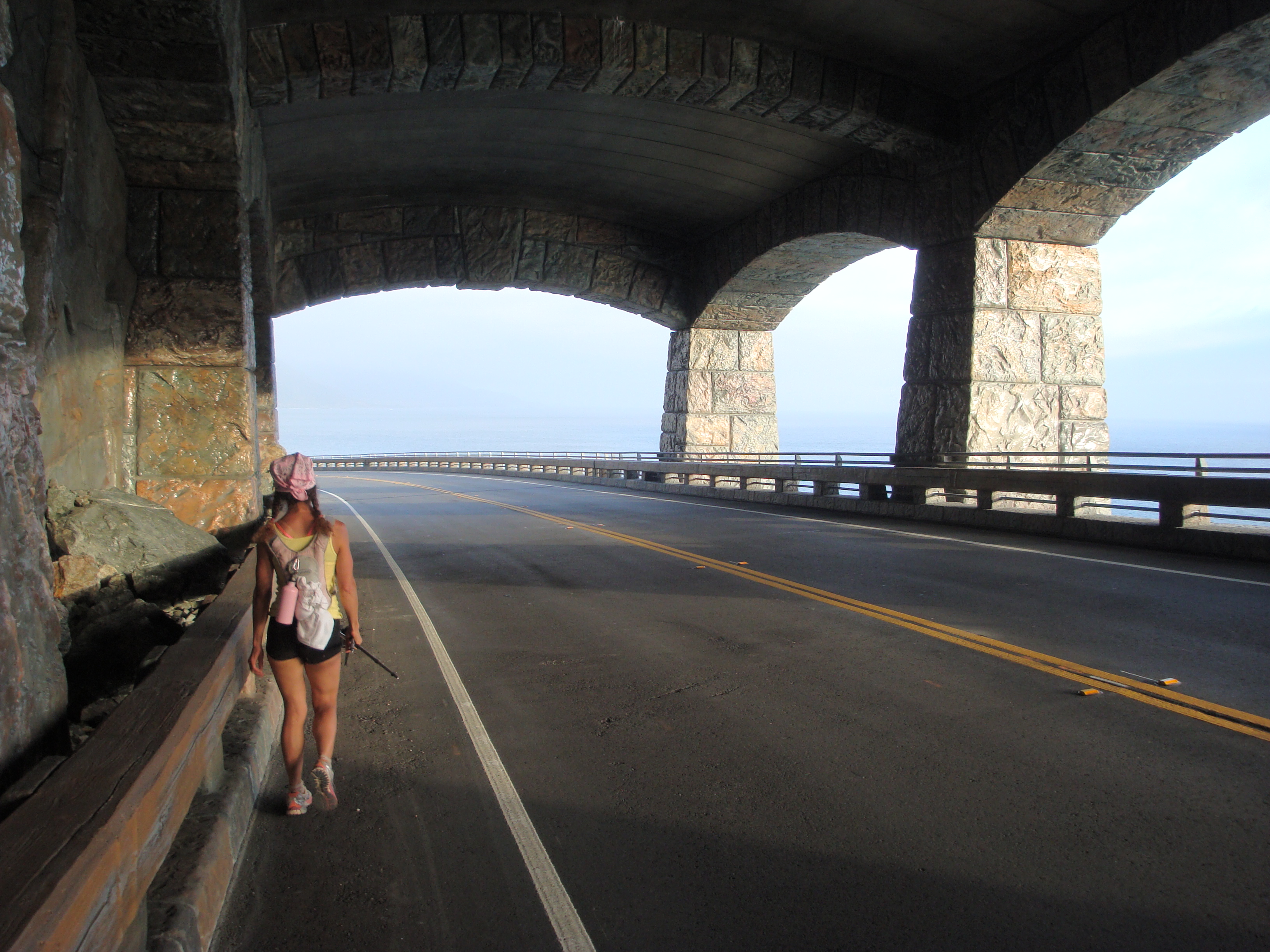
In the shed.

A fine day out: On the Limekiln Bridge with Cone Peak in the far background.

Thank you again for sharing your wonderful hikes. The pictures are great, some vantages not seen by many. Again, thanks.