43 California Communities Now Using Less Water Per Person Per Day Than the Monterey Peninsula

May 20, 2015

IMG_2769

The silted up San Clemente Dam awaits demolition

Recently published residential water consumption figures show residents of the Monterey Peninsula increasing their water use to an average of 54.2 gallons per person per day during March. This is up a bit from the 52 gallons per person per day used in January and February and drops the Monterey Peninsula from 29th place in the statewide water conservation sweepstakes, down to 44th. At 50 gallons per person per day, King City residents remain the best water conservationists in Monterey County. Read the rest of this entry »


Monterey Peninsula Too Busy Congratulating Itself on Saving Water to Actually Focus on Saving Water

April 13, 2015

DSC09483

Plenty of warm days and beautiful sunsets, but not enough rain

Local officials have been arguing for years that there is little more the residents of the Monterey Peninsula can do to conserve water because they already use less water per capita than anyone else in the state. Back in November, we noted that this simply wasn’t true. We pointed out that our local Cal-Am service area actually ranked 68th in the state in per capita water use. Read the rest of this entry »


Human Sacrifice Only Way Forward Say Mayors

April 1, 2015

IMG_2581

Airport expansion project gone awry or Aztec-inspired sacrificial?

The mayors of the Monterey Peninsula admitted today that the mammoth cinder block monument rising menacingly skyward along the side of Highway 68 is not really related to airport expansion, but is instead a modern sacrificial meant to propitiate the gods of the State Water Resources Control Board. Read the rest of this entry »


Up Against the Wall: Steelhead and the Carmel Lagoon Ecosystem Protective Barrier

February 9, 2015

Reeds

The Carmel River Lagoon in 1947 (Laidlaw Williams photo)

There’s been some uproar lately over the plan to build a flood barrier in the Carmel River Lagoon and people have been asking on social media and elsewhere why anyone would propose to place such an assumed-to-be-ugly wall along the northern margin of such a beautiful wetland. A better question may be whether we can find a way to live our lives that doesn’t prevent steelhead from living at all. Either way, it’s a long story… Read the rest of this entry »


Will 2015 be Another 2013, or is January Just Not Part of the Rainy Season Anymore?

January 16, 2015

IMG_2175

As the flow of the Carmel River becomes too weak to resist the power of the sea, waves rebuild the sandbar.

Remember how in we got a lot of rain in the fall of 2012? Monterey logged 9.59 inches for November and December that year. The average for those two months is only 5.41 inches. Read the rest of this entry »


Carmel River Reaches the Sea for First Time in Almost Two Years

December 13, 2014

IMG_2036

The slowly rising lagoon reached the top of the bar shortly before sunrise this morning. Read the rest of this entry »


Storm More Impressive in Town Than in the Hills

December 12, 2014

DSC05494

The Monterey Peninsula and the Carmel River mouth. Although the Carmel River is now flowing under Rosie’s Bridge, in the Village, no water has yet made it as far as the lagoon. Water reached the lagoon about 9:00 am this morning!

Before it even arrived, yesterday’s storm was being hailed as the storm of the decade, the century, or even of all time – both in terms of wind and rain. In the actual event, while wind gusts of up to 147 mph were recorded on the Sierra crest near Donner Pass, winds in coastal areas were much less severe than had been feared. The highest winds recorded in Big Sur and the Santa Lucia mountains were only a bit over 50 mph, which is nothing out of the ordinary for winter storms there. Read the rest of this entry »


South Coast Ridges Get Nearly a Foot of Rain: Rivers Slow to React

December 4, 2014

DSC09789

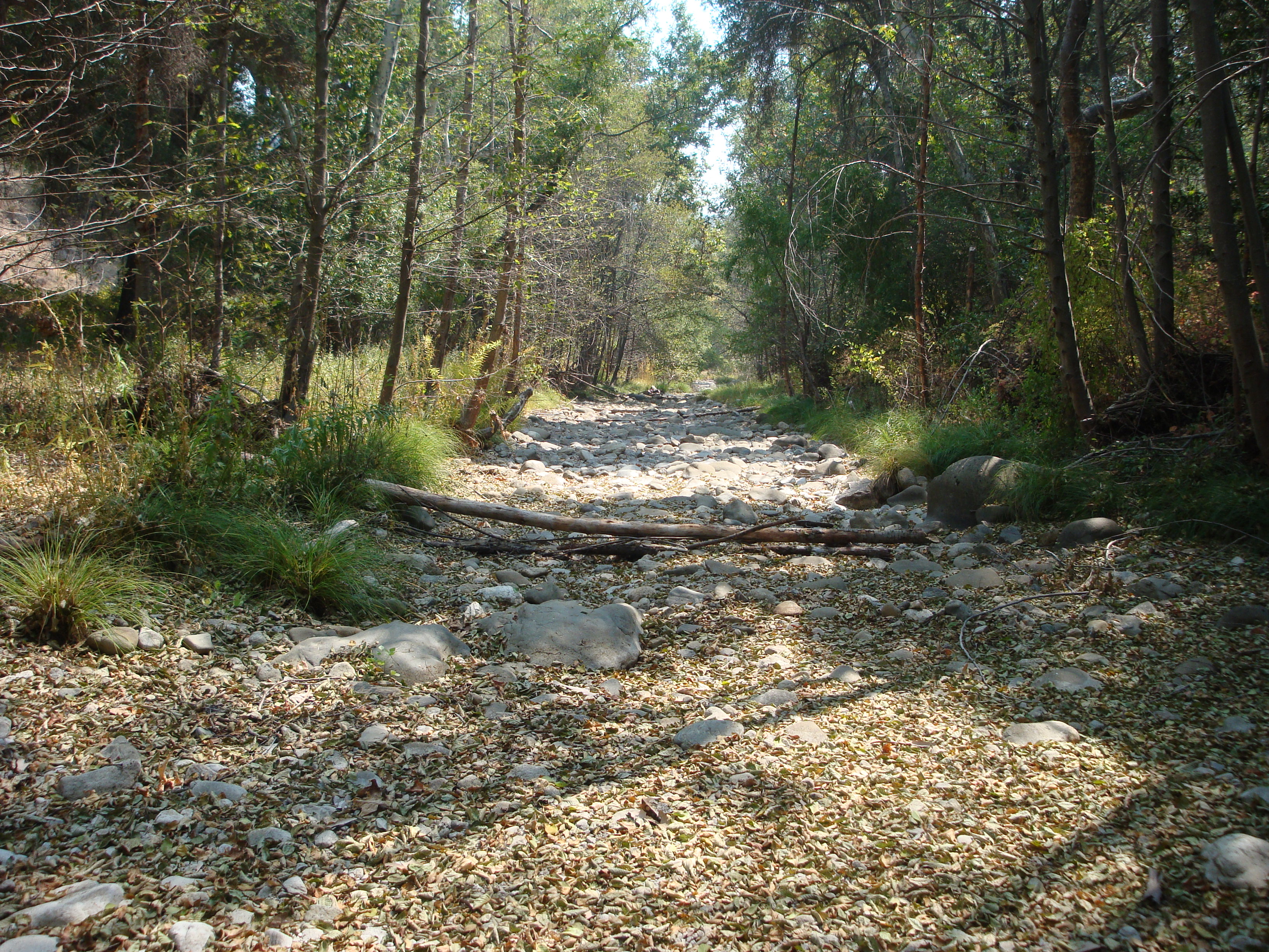
The dry bed of the Nacimiento River has finally gotten a rinse

As is so often the case in major storms, Mining Ridge, above Big Creek on Big Sur’s South Coast, has logged the highest rain total (11.98 inches for the past five days) of any spot in the San Francisco Bay area. Normally, rain of this magnitude would result in very high flows on the Nacimiento and San Antonio Rivers. But these aren’t normal times. Thanks to the extremely dry conditions, most of the rain simply soaked into the ground.

The Nacimiento and San Antonio rivers remained dry at the gauging stations above the reservoirs throughout the storms and it was starting to look like neither lake was going to receive any runoff at all. At midnight last night, however, a flash flood that peaked at around 1,000 cubic feet per second reached the Nacimiento Gauge, and is now flowing into Lake Nacimiento.

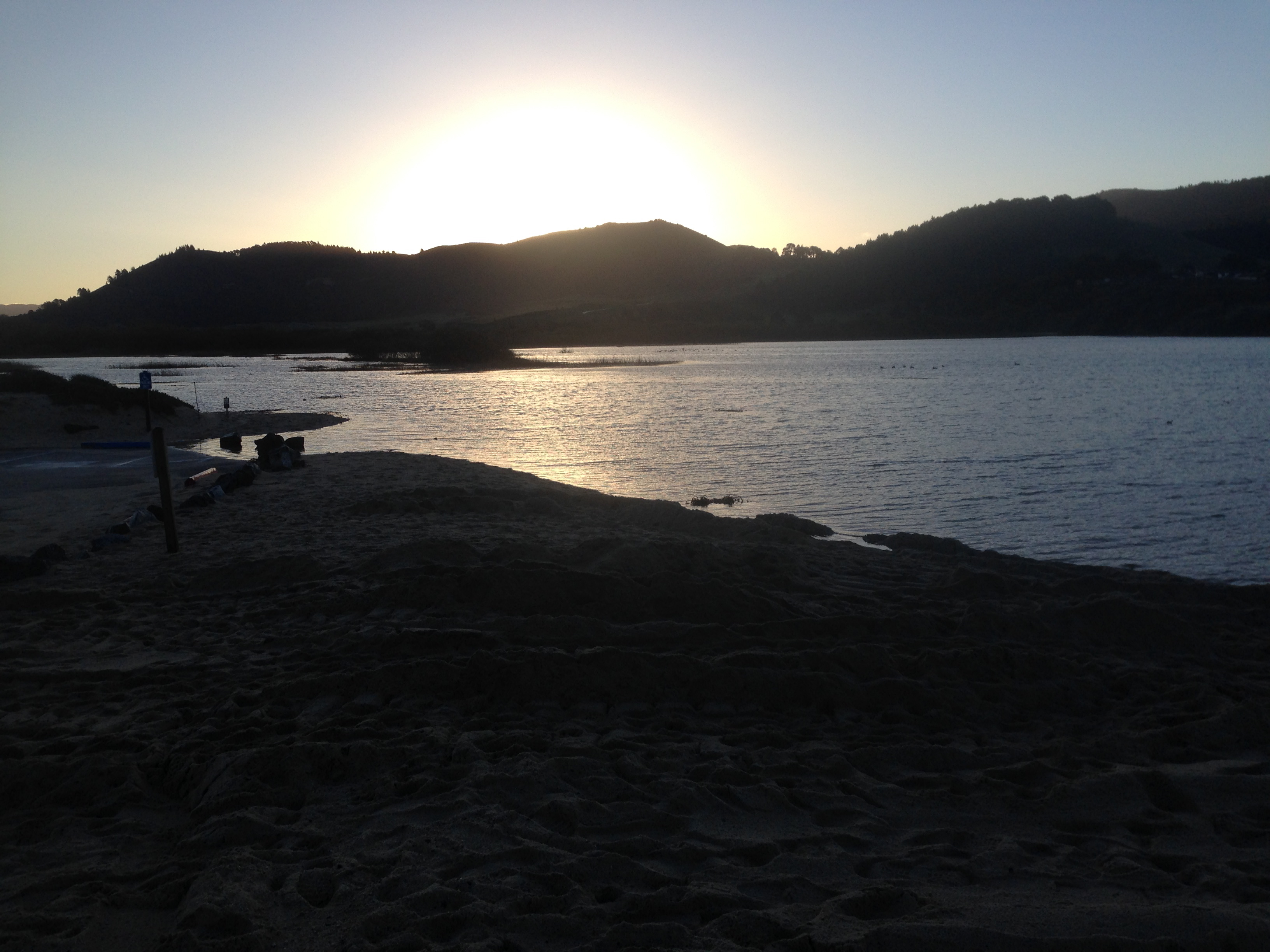
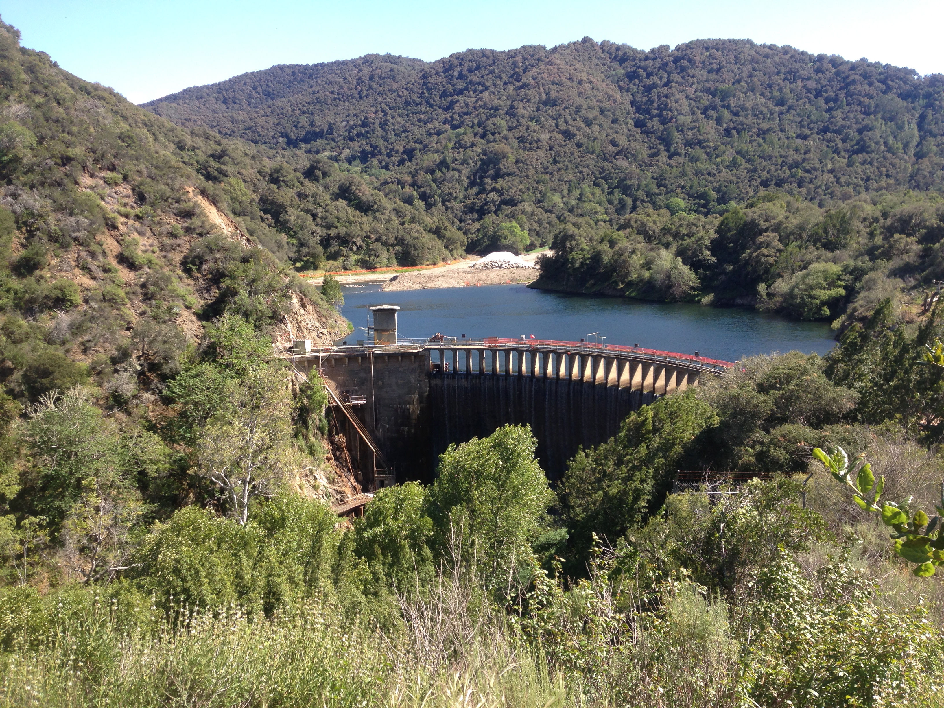
While this isn’t going to change the dire situation at the Lake in a significant way, we can at least hope it proves a harbinger of better things to come. Which is important, since Lake Nacimiento is currently at only 16% of capacity and Lake San Antonio is essentially dry at 3% capacity.


Rain Gets Rivers Flowing, But Water Still in Short Supply

March 5, 2014

CRL

Not much water flowed into the Carmel River Lagoon

Last week’s rain marked the first serious winter storm to hit the Monterey Peninsula and Big Sur Coast since December, 2012. It was badly needed.

Read the rest of this entry »


Salinas Valley Drought Index

February 25, 2014

DSC09204

Dry: 2/23/13

 prkfld

Extra Dry: 2/22/14

Number of months since a month of average or above average rainfall: 13

Read the rest of this entry »