Bear Turns Up Near Garrapata State Park

July 13, 2015

Black_bear_in_the_bushes

Black Bear (Ursus americanus)

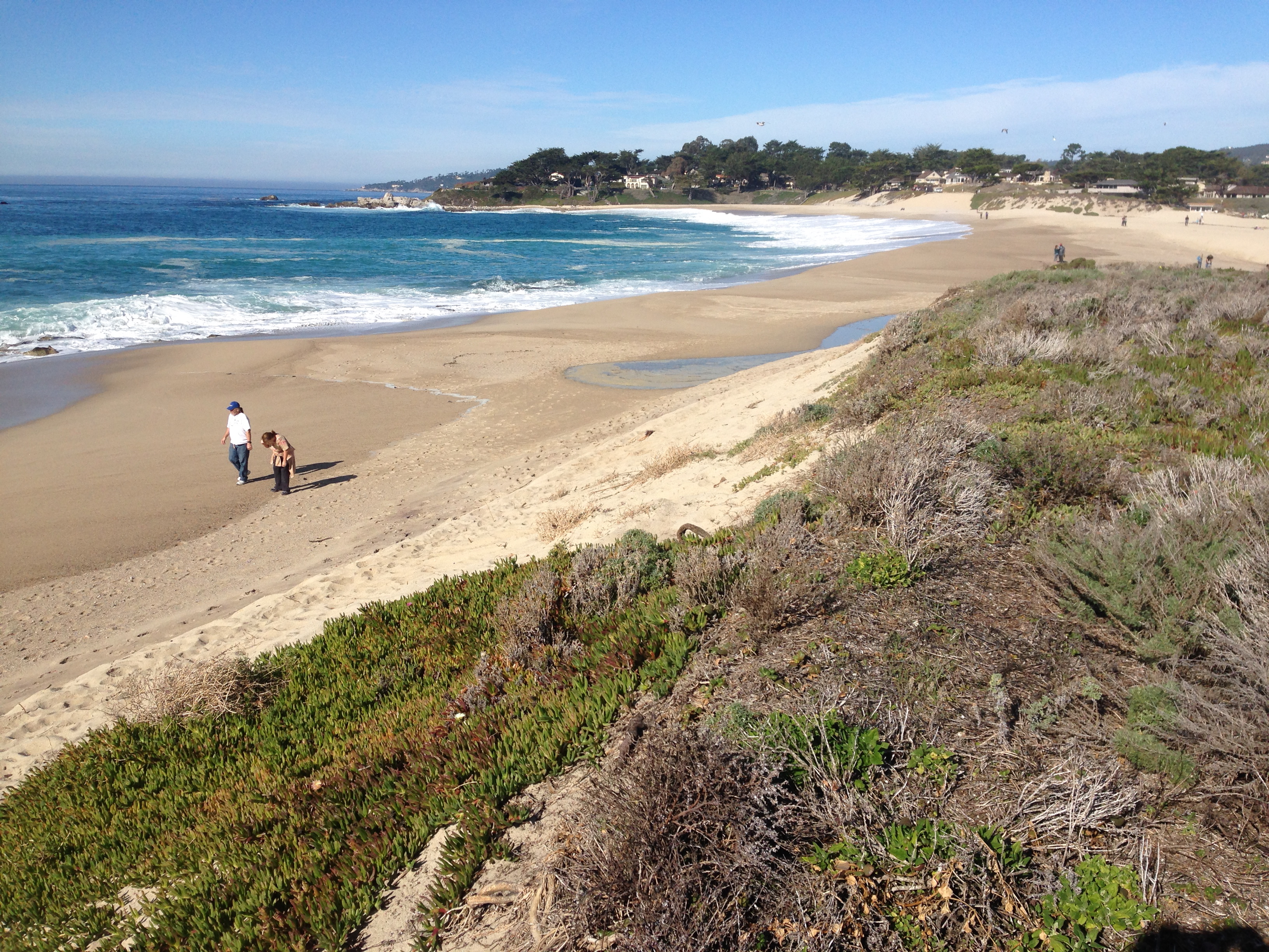
A bear was sighted this morning and trash cans found knocked over on private property immediately adjacent to Garrapata State Park. Don’t know if it was the same bear that visited Pt. Lobos and the Monterey Peninsula last month making his way back from the “remote location” where he was released, or a new bear, but keep your eyes open and secure your trash.

Black bears are not particularly dangerous. In spite of there being as many as 40,000 wild bears in California, no one has been killed by one in more than 100 years. They are capable of a good deal of property damage, though, and the way to prevent that is to avoid attracting them in the first place.

Black bears have been slowly moving into the Northern Santa Lucia mountains for many years and it is inevitable that bear sightings will continue.


Peanut Fire Burning at Ft. Hunter-Liggett

June 11, 2015

6-11pmfhlwide

Heat detections recorded around 2:00pm today

Presumably as a result of yesterday’s lightning, there is at least one fire, dubbed the Peanut Fire, now burning at Ft. Hunter Liggett. The fire is said to be in the Stony Valley area, along the Nacimiento-Fergusson Rd. That would correspond with the upper three heat detections shown above. No telling whether the lower detections are a separate fire or not. Read the rest of this entry »


Lightning Detected in Ventana Wilderness

June 10, 2015

6-10Lightning2

LightningMaps.org map showing approximate location of lightning strike near the headwaters of the North Fork Big Sur River.

A thunderstorm is now moving over the Ventana Wilderness and, in addition to the strike depicted above, lightening strikes have been detected near Pinyon Peak, just downstream from Lost Valley and, most recently (3:00 pm), in the wild country between Zig Zag and Willow Creeks and near San Antonio Camp.

A far more vigorous storm has been working over the Southern Diablo Range near Coalinga and Ft. Hunter-Liggett has also reported downstrikes.

Let’s hope there’s some significant rain falling. It’s pretty dry out there.

June 11 2015 Update: No fires have yet appeared in the Ventana Wilderness as a result of yesterday’s lightning, but a fire, named the Peanut Fire, is now burning near the Nacimiento-Fergusson Rd. in Ft. Hunter-Liggett. As of noon today, it had burned 700 acres and there are rumors that it may burn as much as 3,000 acres before it’s through. No word on the situation with the NF road, but it is probably safe to assume it is closed through the fort.


Soberanes Loop Closed for Maintenance

April 7, 2015

IMG_2643

Here’s something you don’t see every day. Actual State Parks employees at Garrapata State Park. They showed up this morning with a CCC crew, coned off a lot of the parking area and fenced off the access points for the Stone Ridge and Soberanes Canyon trails. Read the rest of this entry »


Will 2015 be Another 2013, or is January Just Not Part of the Rainy Season Anymore?

January 16, 2015

IMG_2175

As the flow of the Carmel River becomes too weak to resist the power of the sea, waves rebuild the sandbar.

Remember how in we got a lot of rain in the fall of 2012? Monterey logged 9.59 inches for November and December that year. The average for those two months is only 5.41 inches. Read the rest of this entry »


Storm More Impressive in Town Than in the Hills

December 12, 2014

DSC05494

The Monterey Peninsula and the Carmel River mouth. Although the Carmel River is now flowing under Rosie’s Bridge, in the Village, no water has yet made it as far as the lagoon. Water reached the lagoon about 9:00 am this morning!

Before it even arrived, yesterday’s storm was being hailed as the storm of the decade, the century, or even of all time – both in terms of wind and rain. In the actual event, while wind gusts of up to 147 mph were recorded on the Sierra crest near Donner Pass, winds in coastal areas were much less severe than had been feared. The highest winds recorded in Big Sur and the Santa Lucia mountains were only a bit over 50 mph, which is nothing out of the ordinary for winter storms there. Read the rest of this entry »


South Coast Ridges Get Nearly a Foot of Rain: Rivers Slow to React

December 4, 2014

DSC09789

The dry bed of the Nacimiento River has finally gotten a rinse

As is so often the case in major storms, Mining Ridge, above Big Creek on Big Sur’s South Coast, has logged the highest rain total (11.98 inches for the past five days) of any spot in the San Francisco Bay area. Normally, rain of this magnitude would result in very high flows on the Nacimiento and San Antonio Rivers. But these aren’t normal times. Thanks to the extremely dry conditions, most of the rain simply soaked into the ground.

The Nacimiento and San Antonio rivers remained dry at the gauging stations above the reservoirs throughout the storms and it was starting to look like neither lake was going to receive any runoff at all. At midnight last night, however, a flash flood that peaked at around 1,000 cubic feet per second reached the Nacimiento Gauge, and is now flowing into Lake Nacimiento.

While this isn’t going to change the dire situation at the Lake in a significant way, we can at least hope it proves a harbinger of better things to come. Which is important, since Lake Nacimiento is currently at only 16% of capacity and Lake San Antonio is essentially dry at 3% capacity.


National Weather Service Warns of Potential for Debris Flows in Sycamore Canyon

November 26, 2014

DSC05199

Big Sur Rain

As much as 5-7 inches of rain are predicted for the Santa Lucia mountains during the coming week and the National Weather Service has issued an alert that includes the following warning:

HEAVY BURSTS OVER THE BIG SUR AREA MAY BE SUFFICIENT TO CAUSE CONCERN OVER DEBRIS FLOWS IN THE SYCAMORE CANYON AREA DUE TO THE PRESENCE OF THE PFEIFFER FIRE BURN SCAR.

As it’s been almost a year since the fire, debris flow hazards are not as acute as they were last winter. But as the rainfall brought by the coming storms may exceed anything we saw last winter, caution is certainly advised. Not only in Sycamore Canyon, but in all canyons draining steep unstable terrain. As in any large rain event, rockfall is likely to impact the highway. Once the heavy stuff starts to fall, best plan is to stay home by the fire until it’s over.


Reprieve for Big Sur River Gauge

October 25, 2014

DSC08539

The Big Sur River meets the sea

The automated Big Sur River Gauge, which had been scheduled to go out of operation at the end of the 2014 water year, has received a last minute reprieve. With only a week to go before the November 1 start of the 2015 water year, the Monterey County Water Resources Agency has agreed to another year of funding. The cost to the Agency is expected to be $13,550. Read the rest of this entry »


“Closed Indefinitely” Rocky Ridge/Soberanes Loop Trail More Popular than Ever

October 22, 2014

IMG_1945

State Park employees apparently visited Garrapata State Park recently and posted this new sign reminding users that the extremely popular Rocky Ridge/Soberanes Creek Loop remains closed.

Back in the 60’s and 70’s, a well-established use trail ran up Soberanes Creek and into the redwood forest, where it petered out into a rock hop along the stream as the canyon narrowed. Somewhere around the time Garrapata State Park was founded, in 1985, the park service, or someone acting with their blessing, extended this trail further upstream and then up to meet the Rocky Ridge Trail, forming a loop. Read the rest of this entry »