Fire on Pfeiffer Ridge

December 16, 2013

Sycamore Canyon

Sycamore Canyon and the Big Sur Valley. Pfeiffer Ridge is at the back of the Sycamore Canyon drainage, running parallel to, and just to the west of, Hwy. 1. Pfeiffer Beach is at the bottom of the photo.

As many of you have been pointing out to us this morning. A fire broke out on Pfeiffer Ridge last night and has been burning through the Sycamore Canyon drainage toward the ocean. We’ve seen reports of as many as 500 acres burned and structures, including homes, have reportedly been destroyed. Read the rest of this entry »


The Condor Conspiracy

October 31, 2013

DSC09374

El Condor Pasa

If you’re like us, you probably assume the biologists, veterinarians, technicians, and volunteers working tirelessly to save California condors from extinction do it because they care deeply about the condors and their place in the web of life. It turns out, though, that the real agenda of the Condor Recovery Program is to disarm the American people preparatory to imposing the enviro-fascist mandates of UN Agenda 21. That’s what we’ve been reading in the comment sections of dozens of online periodicals, anyway.

Read the rest of this entry »


Methyl Bromide Linked to Smaller Babies in Salinas Valley

September 19, 2013

DSC00633

A study conducted in the Salinas Valley has found that women who lived within three miles of fields treated with the fumigant methyl bromide during their second trimester of pregnancy gave birth to babies an average of four ounces lighter than babies born to women living further away. This is not entirely a surprise, as animal studies have suggested that methyl bromide interferes with fetal development. Read the rest of this entry »


Fire Near Tassajara

July 17, 2013

DSC01328

Looking toward Tassajara from the Pine Ridge Trail in the upper Church Creek drainage ten months after the Basin Complex Fire. Today’s fire is probably (make that definitely) burning behind the low hill in the center left of the photo.

A fire broke out earlier this afternoon along the Tassajara Rd. It’s apparently a little north of the Zen Center. A column of smoke is now (3:15pm) visible from the Salinas Valley. A lot of equipment is headed that way so, hopefully, folks will do their best to avoid the roads in the upper Carmel Valley, Cachagua and Jamesburg for the time being. Read the rest of this entry »


Monterey Bay: Garbage Dump

July 10, 2013

Otterrake

The Monterey Bay Sanctuary: Not exactly pristine

One of the great things about living next to the ocean is that it makes it easy to get rid of sewage, trash and pretty much anything else you don’t want. And while the East Coast tradition of simply hauling municipal garbage out to sea on a barge and pushing it overboard never caught on here (something to do with the prevailing onshore wind, no doubt), Moss Landing’s Monterey Bay Aquarium Research Institute (better known as MBARI) now tells us that Monterey Bay is nevertheless awash with trash.

Read the rest of this entry »


Mining Ridge: Rainiest Spot in Central California

December 3, 2012

Cnclr

Clearing storm: Summit of Cone Peak; just south of Mining Ridge

Storms generally weaken as they move south, dropping more rain north of the Golden Gate and in the Santa Cruz Mountains than in Monterey County. But Big Sur’s Coast Ridge is an exception. Rising directly from the ocean to over 5,000 feet at Cone Peak, the Coast Ridge forms a high wall, lifting clouds and wringing an incredible amount of moisture out of passing storms. Read the rest of this entry »


Highway One Closed “Due to Flooding” South of Big Sur

December 2, 2012

DSC09089

The March, 2011 Rocky Creek slide still under repair

At 9:30 tonight Caltrans shut Highway One down from “4 miles south of Big Sur” (apparently between Deetjen’s and the Coast Gallery) all the way to Ragged Point in San Luis Obispo County “due to flooding.” That’s about 50 miles of highway closed and there is “no estimated time to reopen.” We don’t know where the “flood” is, or if this is just shorthand for lots of rocks and slides, but this is probably a good night to stay off the roads in the areas hardest hit by today’s storm.

10:45pm Update: Big Sur Kate is reporting that the cause of the closure is a slide at Rain Rocks (between Lucia and Limekiln Creek).

8:00am December 3 Update: The Highway appears to have been reopened.


Big Sur River Reaches Flood Stage

December 2, 2012

As of 2:00pm the Big Sur River was at 10.51 feet and climbing. 10 feet is the official flood stage, although past experience indicates that serious flooding does not actually begin until the river gets higher. Flow is currently at 4,900 cfs and climbing. This is a couple hundred cfs more than the river’s peak during Big Sur’s last flood scare, in March 2011. View the Big Sur River gauge here.

2:30pm Update: It appears that peak flow has now passed. Latest readings are 10.47 feet and 4,850 cfs. The rain is tapering off rapidly over the Santa Lucias, so the river will probably start dropping quickly.

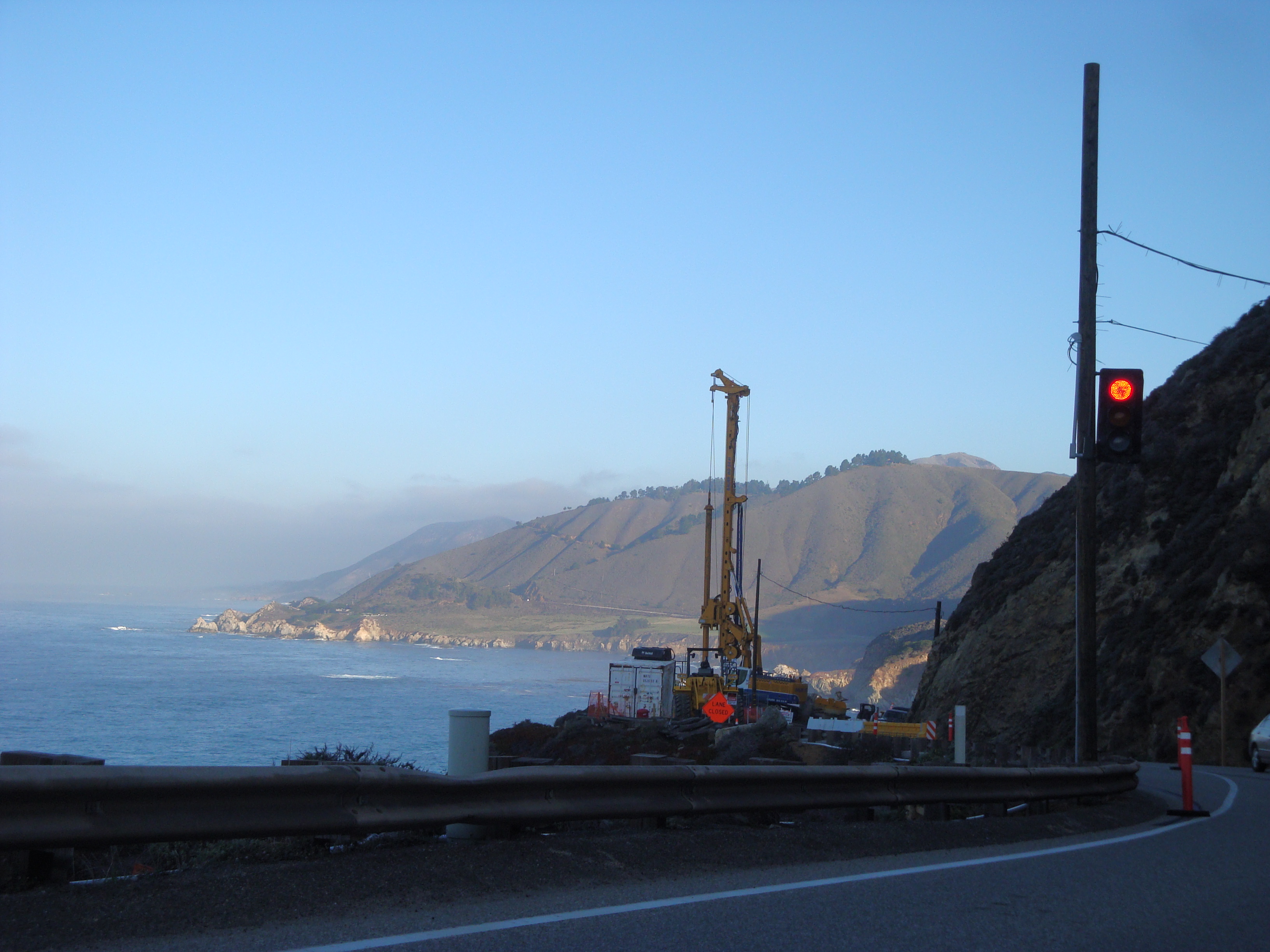
10:00pm Update: Nothing to do with the Big Sur River, obviously, but at 9:30 tonight Cal Trans shut Highway One down from 4 miles south of Big Sur all the way to Ragged Point in San Luis Obispo County “due to flooding.” Don’t know where the “flood” is, or if this is just shorthand for lots of rocks and slides. The Big Sur River, meanwhile, is all the way back down to 1,270 cfs. The Arroyo Seco River takes the prize for the day’s highest peak flow with around 14,000 cfs (an amount it can easily accommodate).


Small Fire Near Limekiln Creek

July 5, 2012

We’ve been getting questions about why so many firetrucks and dozers have been headed south through Big Sur with lights and sirens ablaze this evening. They are on their way to the Limekiln Creek area where a small fire was reported around 4:30 this afternoon. Read the rest of this entry »


Some Real Rain … Finally

March 19, 2012

While the Santa Cruz Mountains may have gotten most of the rain and left our rainfall totals still languishing way below average, at least there’s now a little water in the creeks and some snow on the hills.  For the first time since last fall it’s … finally … starting to seem like a rainy season again. Read the rest of this entry »