
Leaving the Highway. View to the south.

View to the north.

A young Pacific Gopher Snake (Pituophis catenifer catenifer).

Torre Canyon

Into the open fields. There were quite a few people walking the lower portions of the trail … not so many higher up.

Getting higher.

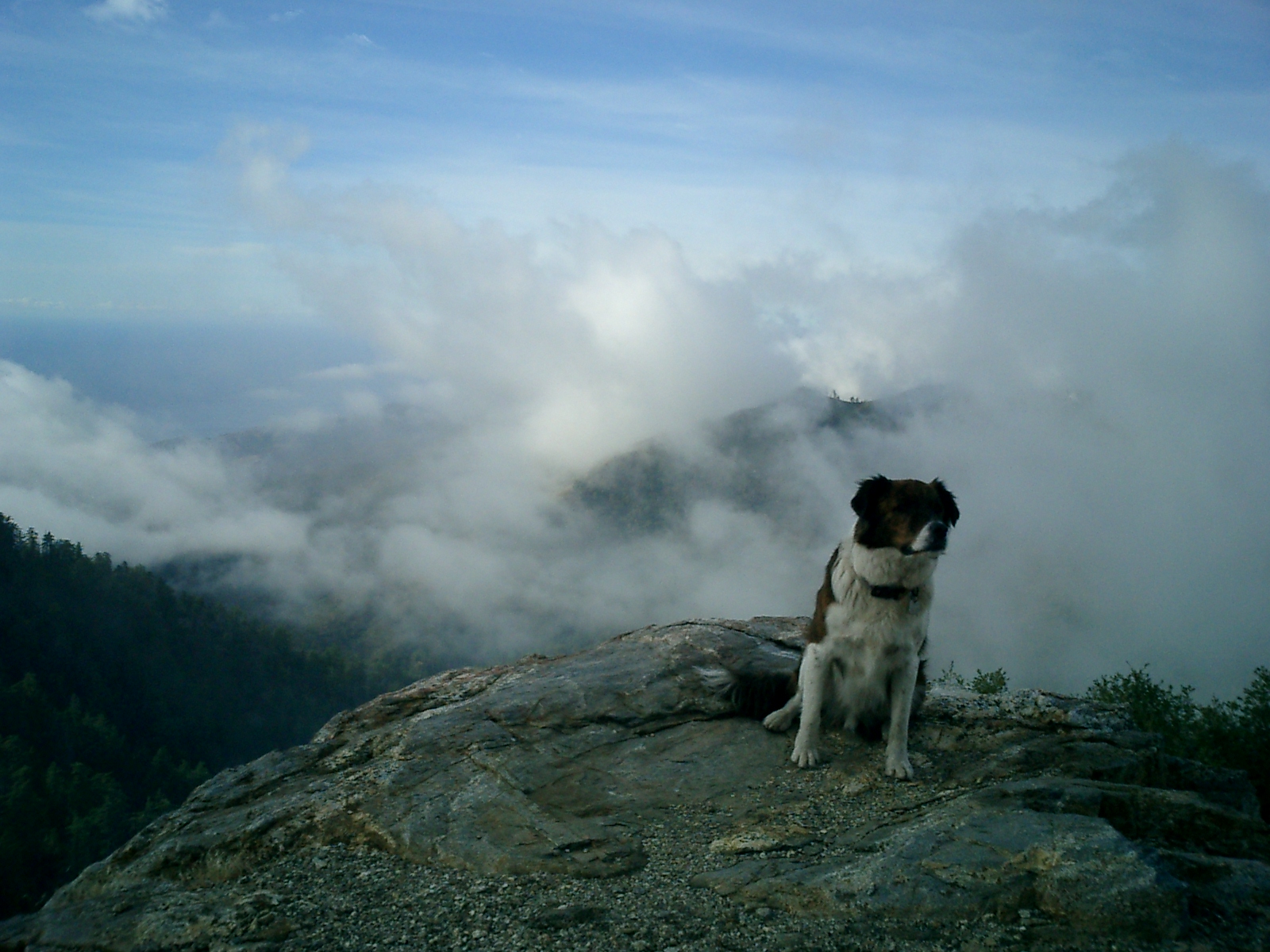
At the summit. View to the north from Timber Top on the Coast Ridge. A tongue of fog hanging over the Big Sur River Gorge with Mt. Manuel, etc. beyond.

View to the south. Cone Peak on the far left skyline.
Click here to view the Boronda Trail in Spring.

Lovely photos, thanks for sharing. Torre Canyon still looks so scorched.
Yes, Lois. It’s haunting and beautiful to keep reading this landscape of fire.
As you scroll down, what is the road in the background of the 5th photo? Not Partington?
Don’t know if it has a name, but it’s part of the system of roads that leaves the Highway a little north of the Partington Ridge Rd. — the roads the De Angulo Trail begins along.
Exactly where does the Boronda Trail begin and end? I’ve never heard of it, except recently from a friend.
The Boronda Trail begins about half a mile south of the Coast Gallery (look for a grove of small pines and an old cattle chute) and ends on the Coast Ridge Rd. at Timber Top. There’s no sign announcing the trail at the start, but there may be some Forest Service signs urging you to pack out trash, etc.
Keith –
Be interested in knowing how this trail got it’s name. It doesn’t show up as Boronda Trail on maps and no reference to it in Monterey County place names book. There is a Boronda Creek out in Cachagua area and the Boronda homestead near Harlan Mountain in Big sur, but no ‘Boronda Trail?’ There is a Boronda Ridge near Timber Top, but no trail listed as such. So, when was this trail designated and by whom? Just curious.
Larry
The Forest Service, with help from the Big Sur Land Trust, acquired the Boronda Ranch, which included this route to the Coast Ridge, sometime in the early ’90s. They then officially named it the Boronda Trail; although they still haven’t bothered to put up a sign. Clark’s Monterey County Place Names had already been published. Previously, this route had been known to locals as Separation Road, because driving it “separated the men from the boys.” It’s steep, narrow, loose, off-camber turns made it dangerous even by Big Sur ranch standards. Some, like Boon Hughey, favored giving it the more informative, not to mention alliterative, name of Timber Top Trail, but the Forest Service favored Boronda.