December 16, 2013

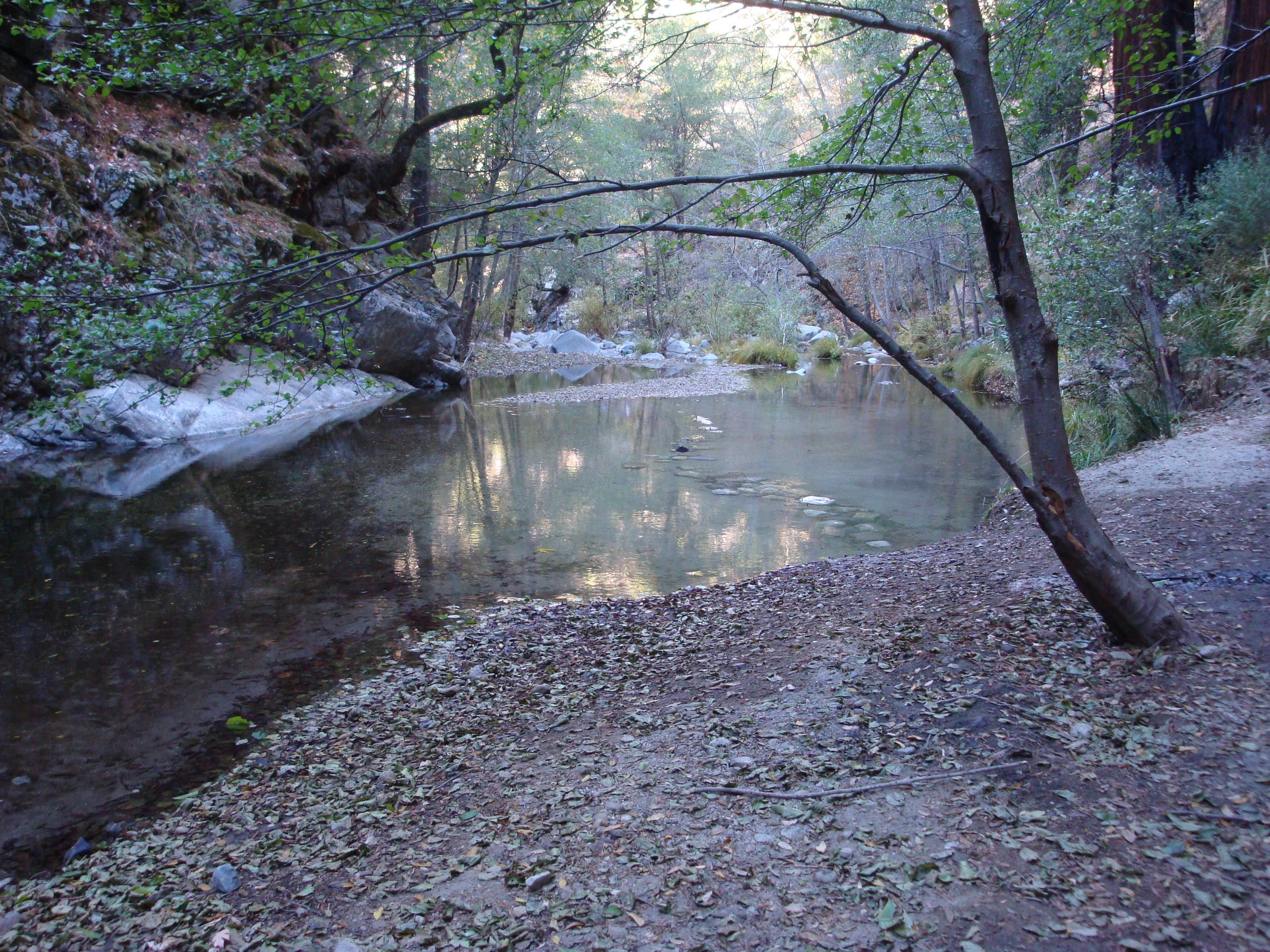
Sycamore Canyon and the Big Sur Valley. Pfeiffer Ridge is at the back of the Sycamore Canyon drainage, running parallel to, and just to the west of, Hwy. 1. Pfeiffer Beach is at the bottom of the photo.
As many of you have been pointing out to us this morning. A fire broke out on Pfeiffer Ridge last night and has been burning through the Sycamore Canyon drainage toward the ocean. We’ve seen reports of as many as 500 acres burned and structures, including homes, have reportedly been destroyed. Read the rest of this entry »
 2 Comments |
  Big Sur, Fire, Flood & Apocalypse, Santa Lucias |
  Permalink
 Posted by xasauan
October 31, 2013

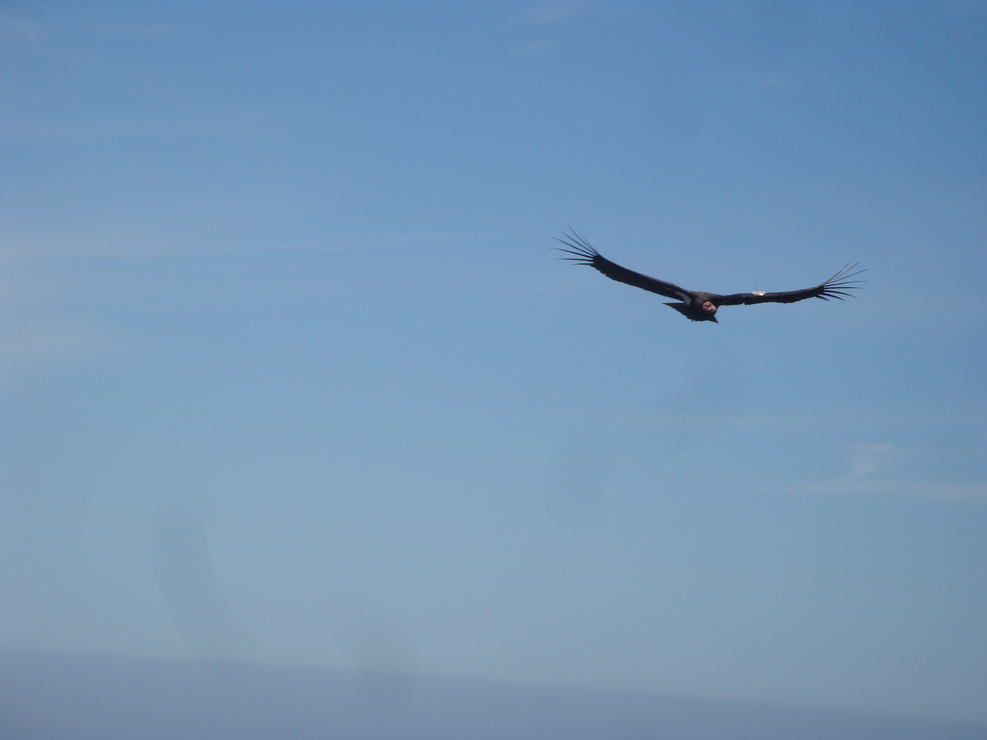
El Condor Pasa
If you’re like us, you probably assume the biologists, veterinarians, technicians, and volunteers working tirelessly to save California condors from extinction do it because they care deeply about the condors and their place in the web of life. It turns out, though, that the real agenda of the Condor Recovery Program is to disarm the American people preparatory to imposing the enviro-fascist mandates of UN Agenda 21. That’s what we’ve been reading in the comment sections of dozens of online periodicals, anyway.
Read the rest of this entry »
1 Comment | Big Sur, Fire, Flood & Apocalypse, Politics, Santa Lucias | Tagged: condors, lead ammunition, lead poisoning | Permalink
Posted by xasauan
August 31, 2013
With the last rainy season fizzling out in January, it seems like it’s been summer for about eight months now. Plenty of time to paddle, pedal, and roam around in the hills — which is why we haven’t been posting here much. Don’t worry, though. We promise to turn our jaundiced eye back to water and development issues again someday soon. Maybe when the rains begin to fall.
In the meantime, here’re a few clues as to what we’ve been up to …

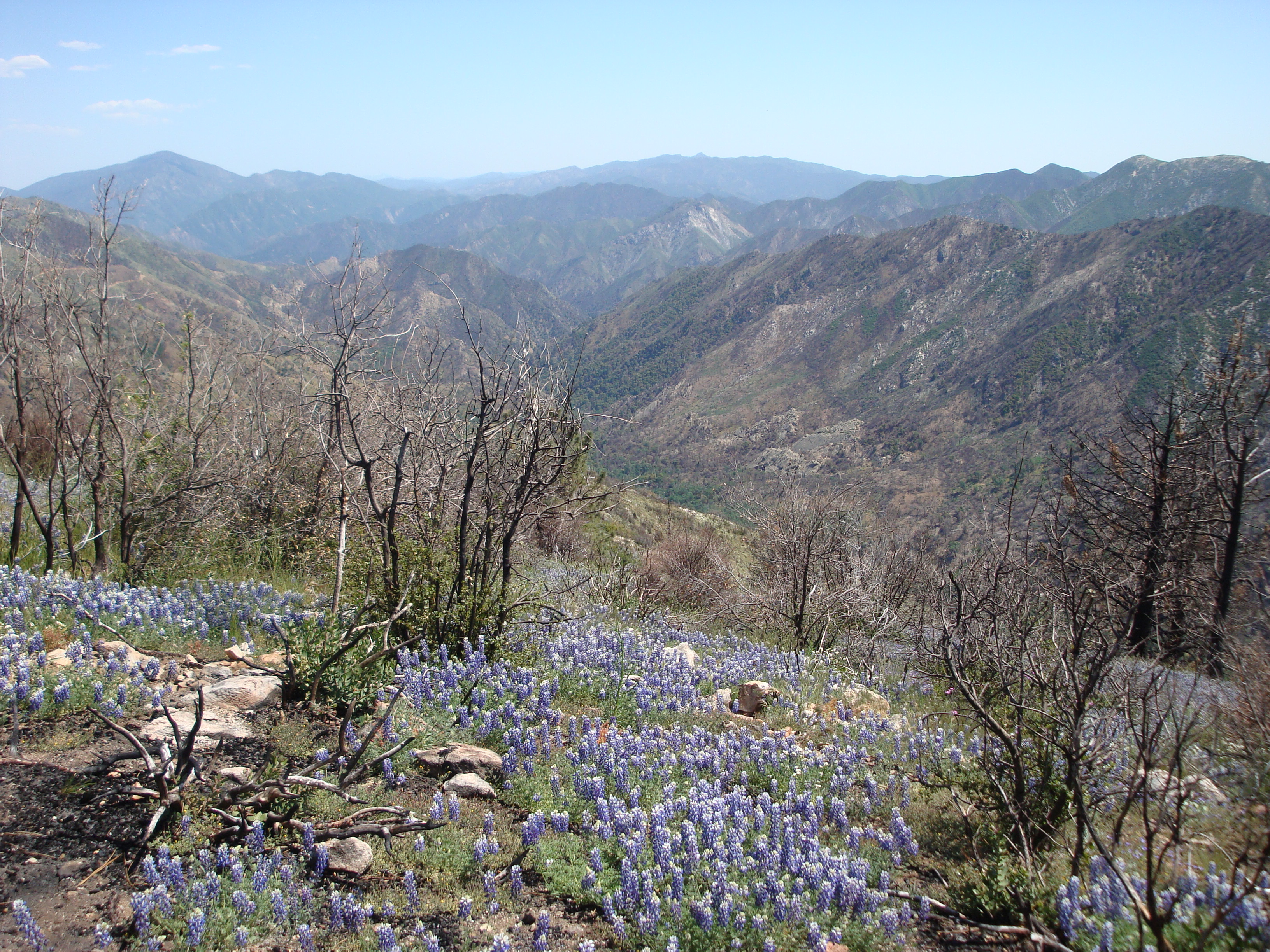
Trail near the summit of Cone Peak. Coast partially obscured by smoke from an escaped controlled burn on Ft. Hunter Liggett. Read the rest of this entry »
1 Comment | Big Sur, Cycling, On Foot, Santa Lucias, Transportation | Tagged: Cone Peak, Ft. Ord blight, Nacimiento River, outrigger canoe, pagani, sunset, The Indians, Wagon Cave | Permalink
Posted by xasauan
July 17, 2013

Looking toward Tassajara from the Pine Ridge Trail in the upper Church Creek drainage ten months after the Basin Complex Fire. Today’s fire is probably (make that definitely) burning behind the low hill in the center left of the photo.
A fire broke out earlier this afternoon along the Tassajara Rd. It’s apparently a little north of the Zen Center. A column of smoke is now (3:15pm) visible from the Salinas Valley. A lot of equipment is headed that way so, hopefully, folks will do their best to avoid the roads in the upper Carmel Valley, Cachagua and Jamesburg for the time being. Read the rest of this entry »
1 Comment | Fire, Flood & Apocalypse, Santa Lucias | Permalink
Posted by xasauan
June 13, 2013

May and June are bear season on the Monterey Peninsula. And I’m not just talking about the Seaside Police Department’s early morning bear shoot last week. May and June are the months when black bears seem most prone to wandering out of the Santa Lucia mountains and into the streets of town.
For instance … Read the rest of this entry »
1 Comment | History, Santa Lucias | Tagged: black bear | Permalink
Posted by xasauan
May 8, 2013

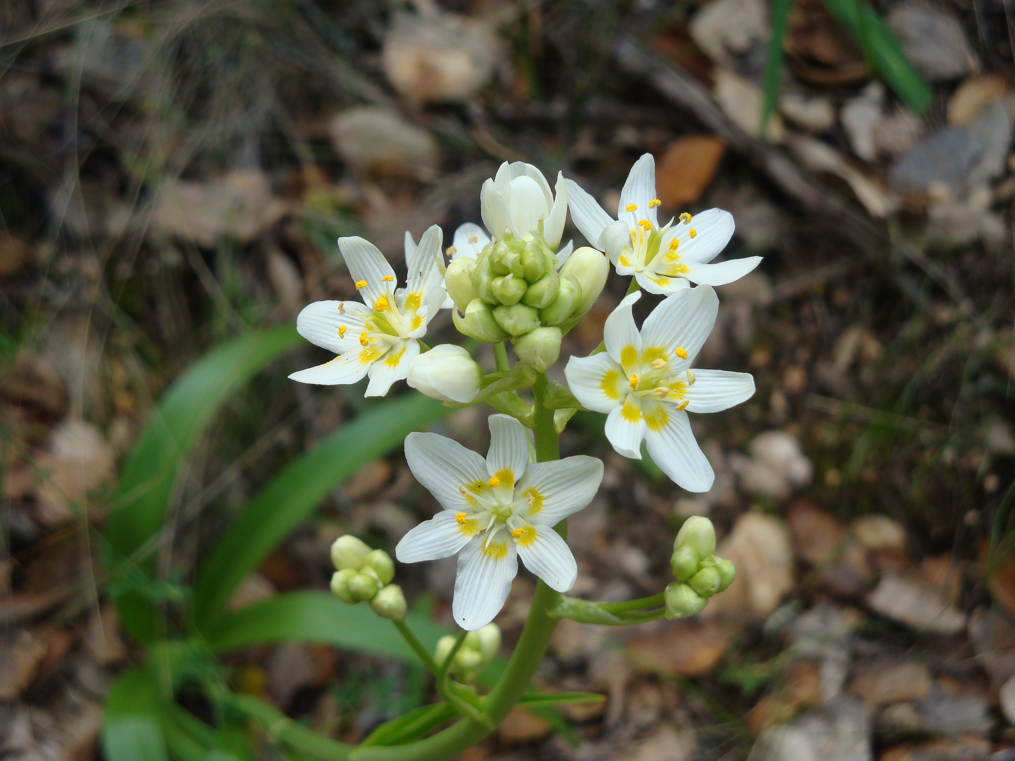
Santa Lucia sticky monkey-flower (Mimulus aurantiacus var. grandiflorus) blooming at The Indians last weekend.
It’s been a hot, dry spring so far, and most of the wildflowers are already disappearing. That just makes the Santa Lucia sticky monkey-flower, which doesn’t mind the heat, stand out even more than usual; and makes it a natural choice for our Wildflower of the Week.
Read the rest of this entry »
Leave a Comment » | Plants, Santa Lucias, Wildflowers | Permalink
Posted by xasauan
March 8, 2013

Star Lily (Zigadenus Toxicoscordion fremontii), AKA Fremont’s Death Camus or Star Zigadene, at Garland Regional Park
It’s been a strange season so far, with heavy rain in the fall, followed by the driest January/February on record. But one flower that seems to be thriving in these odd conditions is the star lily – now abundantly blooming pretty much anywhere you look in Monterey County. Read the rest of this entry »
2 Comments | Big Sur, Plants, Santa Lucias, Wildflowers | Tagged: fremontii, star zigadene, toxicoscordion, zigadenus | Permalink
Posted by xasauan
December 3, 2012

Clearing storm: Summit of Cone Peak; just south of Mining Ridge
Storms generally weaken as they move south, dropping more rain north of the Golden Gate and in the Santa Cruz Mountains than in Monterey County. But Big Sur’s Coast Ridge is an exception. Rising directly from the ocean to over 5,000 feet at Cone Peak, the Coast Ridge forms a high wall, lifting clouds and wringing an incredible amount of moisture out of passing storms. Read the rest of this entry »
4 Comments | Big Sur, Fire, Flood & Apocalypse, Santa Lucias | Tagged: Big Creek, Coast Ridge, Cone Peak, Mining Ridge | Permalink
Posted by xasauan
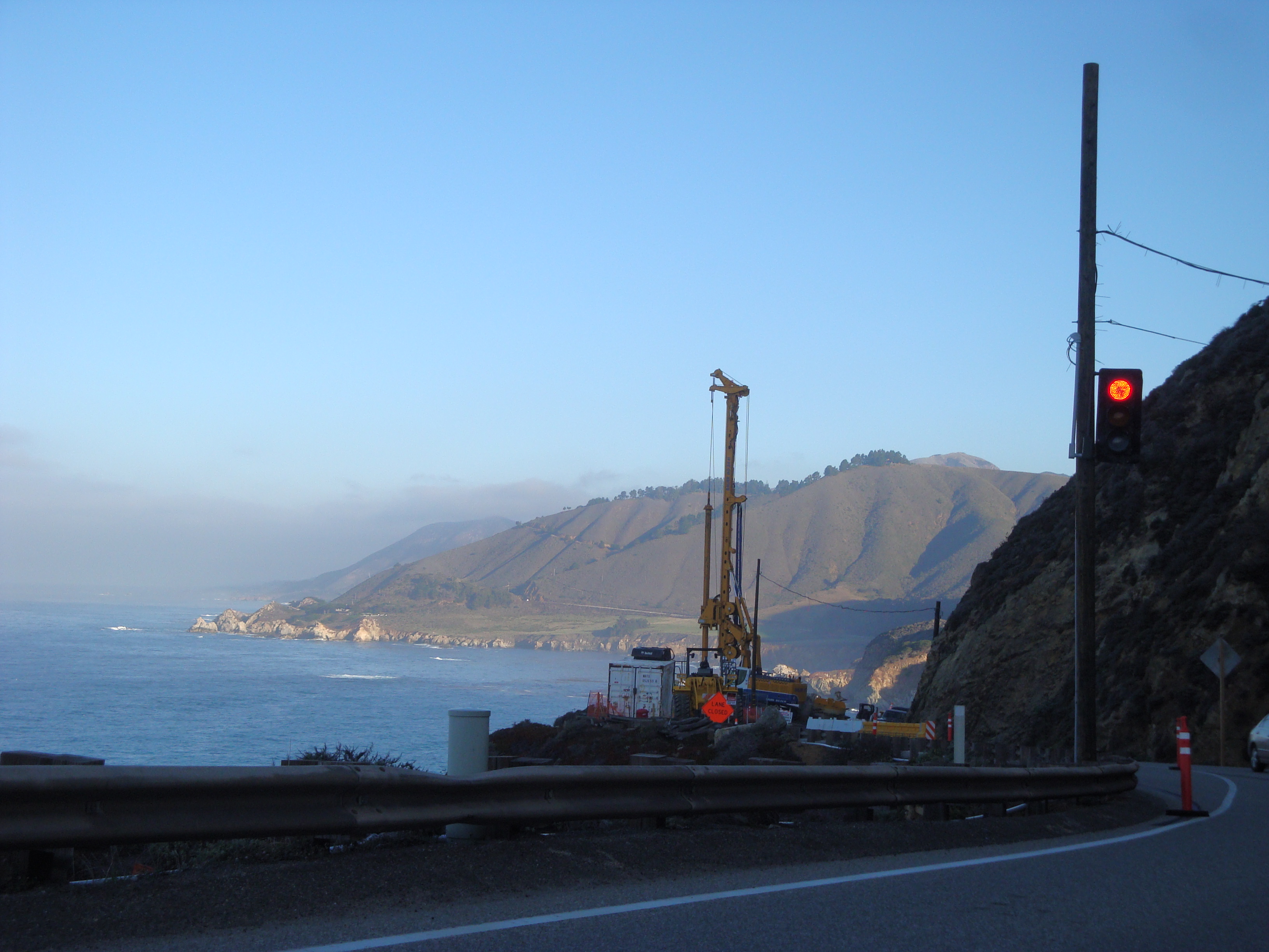
December 2, 2012

The March, 2011 Rocky Creek slide still under repair
At 9:30 tonight Caltrans shut Highway One down from “4 miles south of Big Sur” (apparently between Deetjen’s and the Coast Gallery) all the way to Ragged Point in San Luis Obispo County “due to flooding.” That’s about 50 miles of highway closed and there is “no estimated time to reopen.” We don’t know where the “flood” is, or if this is just shorthand for lots of rocks and slides, but this is probably a good night to stay off the roads in the areas hardest hit by today’s storm.
10:45pm Update: Big Sur Kate is reporting that the cause of the closure is a slide at Rain Rocks (between Lucia and Limekiln Creek).
8:00am December 3 Update: The Highway appears to have been reopened.
1 Comment | Big Sur, Fire, Flood & Apocalypse, Santa Lucias | Permalink
Posted by xasauan